Transport Functions
Multimodal
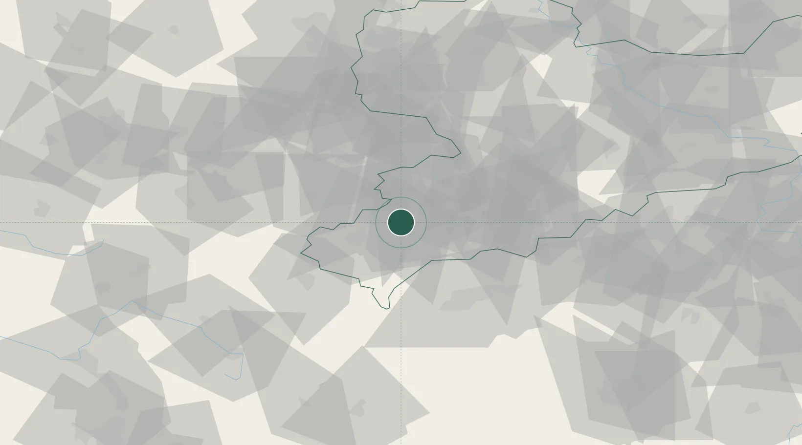
Hub Profile
Place type
Populated place
Region
Saxony
Population
8,141
Time zone
Europe/Berlin
Elevation
393 m
Location
Nearby Logistics Neighbours
Cities
- 1Heinsdorfergrund4 km
- 2Rodewisch5 km
- 3Reichenbach im Vogtland7 km
- 4Ellefeld10 km
- 5Neumark11 km
Airports
- 1Leipzig–Altenburg Airport47 km
- 2Hof-Plauen Airport48 km
- 3Karlovy Vary Airport56 km
- 4Bayreuth Airport83 km
- 5Leipzig/Halle Airport95 km
Trade Zones
DatabookThe Record of Consolidated Knowledge
Germany beyond logistics?