Transport Functions
Rail
Road
Hub Profile
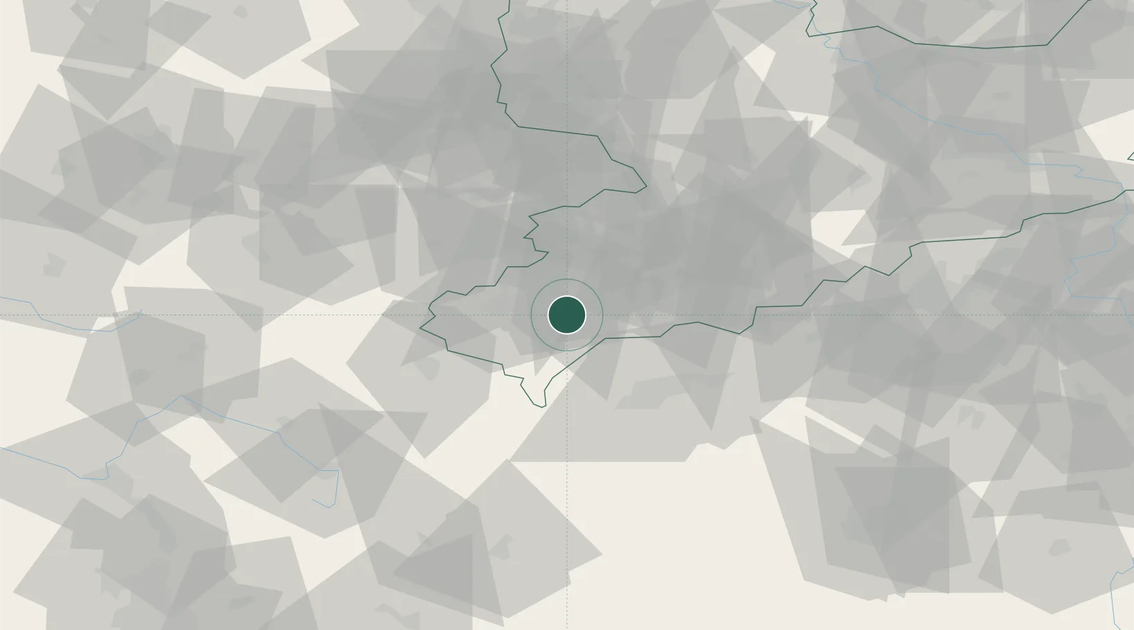
Place type
Populated place
Region
Saxony
Population
9,528
Time zone
Europe/Berlin
Elevation
567 m
Location
Nearby Logistics Neighbours
Cities
- 1Ellefeld2 km
- 2Rodewisch8 km
- 3Lengenfeld11 km
- 4Heinsdorfergrund15 km
- 5Eibenstock16 km
Airports
- 1Hof-Plauen Airport43 km
- 2Karlovy Vary Airport48 km
- 3Leipzig–Altenburg Airport58 km
- 4Bayreuth Airport75 km
- 5Grafenwöhr Army Air Field91 km
Trade Zones
DatabookThe Record of Consolidated Knowledge
Germany beyond logistics?