Transport Functions
Road
Multimodal
Hub Profile
Region
SN
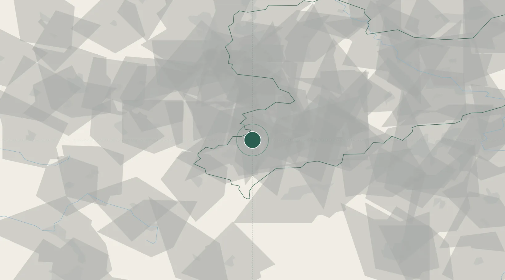
Location
Nearby Logistics Neighbours
Cities
- 1Reichenbach im Vogtland3 km
- 2Lengenfeld4 km
- 3Neumark8 km
- 4Rodewisch10 km
- 5Ginepp13 km
Airports
- 1Leipzig–Altenburg Airport44 km
- 2Hof-Plauen Airport49 km
- 3Karlovy Vary Airport60 km
- 4Bayreuth Airport84 km
- 5Leipzig/Halle Airport92 km
Trade Zones
DatabookThe Record of Consolidated Knowledge
Germany beyond logistics?