Transport Functions
Rail
Road
Hub Profile
Place type
Populated place
Region
Hesse
Time zone
Europe/Berlin
Elevation
340 m
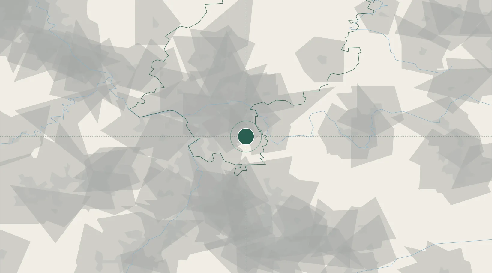
Location
Nearby Logistics Neighbours
Cities
- 1Otzberg5 km
- 2Lengfeld6 km
- 3Bad König6 km
- 4Fraenkisch Crumbach8 km
- 5Lützelbach11 km
Airports
- 1Frankfurt-Egelsbach Airport29 km
- 2Frankfurt Main Airport38 km
- 3Mannheim-City Airport46 km
- 4Wiesbaden Army Airfield53 km
- 5Mainz-Finthen Airfield60 km
Trade Zones
- 1ZFU Hautepierre160 km
- 2ZFU La Cité Behren-lès-Forbach160 km
- 3ZFU Neuhof162 km
- 4Luxembourg Free Port196 km
- 5ZFU Woippy-Metz213 km
DatabookThe Record of Consolidated Knowledge
Germany beyond logistics?