Transport Functions
Rail
Road
Hub Profile
Place type
Local administrative seat
Region
Lower Saxony
Population
11,073
Time zone
Europe/Berlin
Elevation
8 m
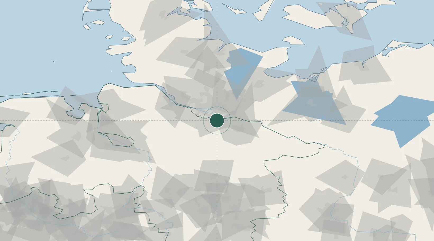
Location
Nearby Logistics Neighbours
Cities
- 1Hoopte4 km
- 2Oortkaten6 km
- 3Bullenhausen8 km
- 4Ramelsloh9 km
- 5Lindhorst9 km
Ports
- 1Hamburg22 km
- 2Butzfleth50 km
- 3Gluckstadt64 km
- 4Lubeck68 km
- 5Itzehoe71 km
Airports
Trade Zones
DatabookThe Record of Consolidated Knowledge
Germany beyond logistics?