Transport Functions
Port
Road
Hub Profile
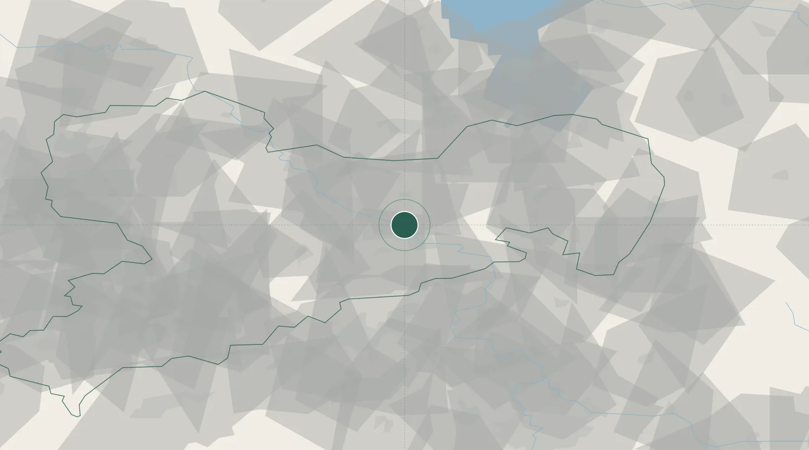
Place type
Urban district
Region
Saxony
Population
20,696
Time zone
Europe/Berlin
Elevation
118 m
Location
Nearby Logistics Neighbours
Ports
- 1Szczecin268 km
- 2Police284 km
- 3Swinoujscie320 km
- 4Wolgast334 km
- 5Wismar355 km
Airports
- 1Dresden Airport10 km
- 2Rothenburg/Görlitz Airfield86 km
- 3Holzdorf Air Base92 km
- 4Leipzig–Altenburg Airport92 km
- 5Vodochody Airport101 km
Trade Zones
DatabookThe Record of Consolidated Knowledge
Germany beyond logistics?