Transport Functions
Port
Rail
Road
Airport
Postal
Hub Profile
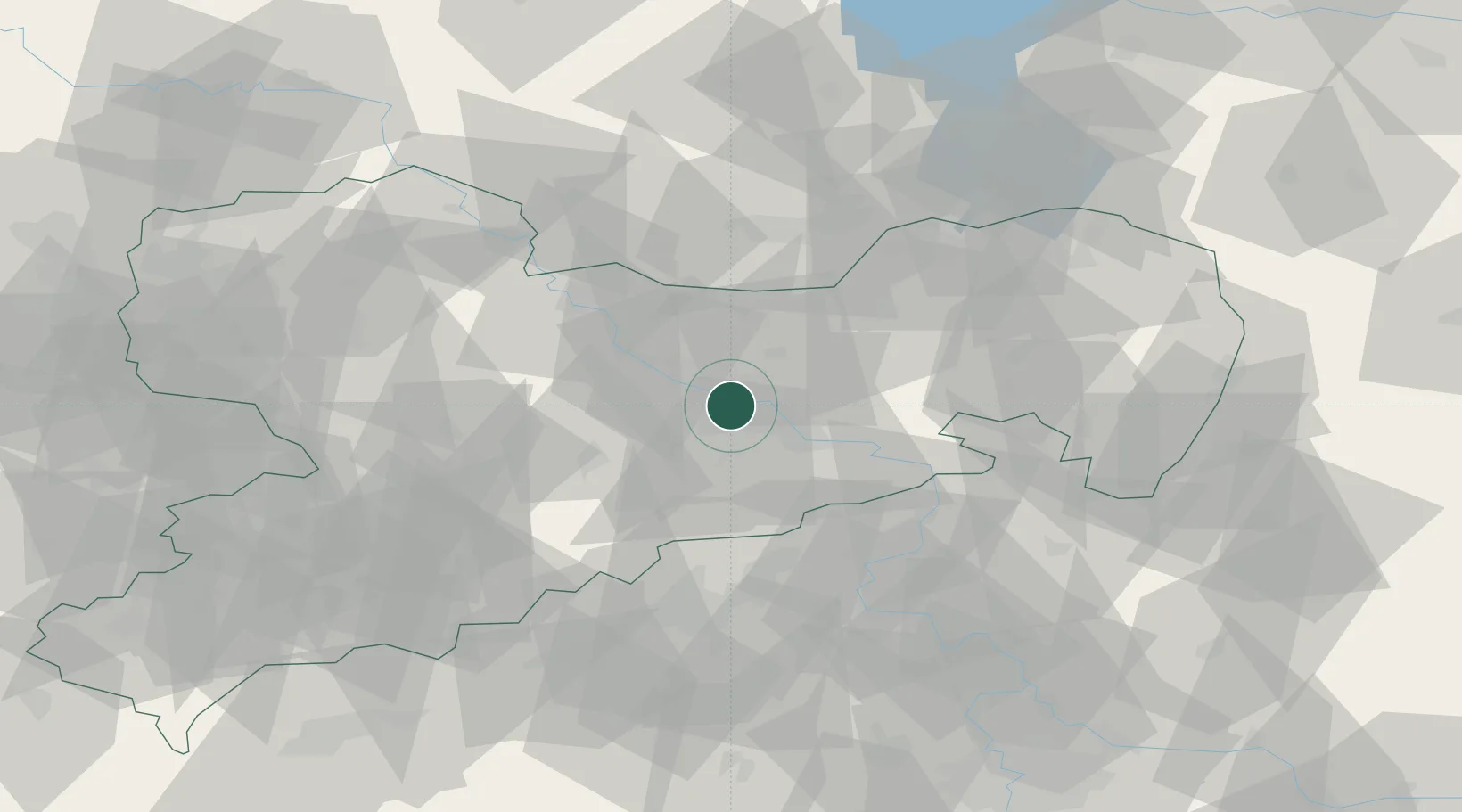
Place type
Regional capital
Region
Saxony
Population
556,227
Time zone
Europe/Berlin
Elevation
116 m
Logistics facilities
1
Location
Nearby Logistics Neighbours
Cities
- 1Freital6 km
- 2Loschwitz8 km
- 3Kesselsdorf9 km
- 4Laubegast9 km
- 5Moritzburg11 km
Ports
- 1Szczecin269 km
- 2Police286 km
- 3Swinoujscie321 km
- 4Wolgast333 km
- 5Wismar351 km
Airports
- 1Dresden Airport10 km
- 2Leipzig–Altenburg Airport84 km
- 3Holzdorf Air Base88 km
- 4Rothenburg/Görlitz Airfield93 km
- 5Vodochody Airport105 km
Trade Zones
DatabookThe Record of Consolidated Knowledge
Germany beyond logistics?