Transport Functions
Rail
Road
Hub Profile
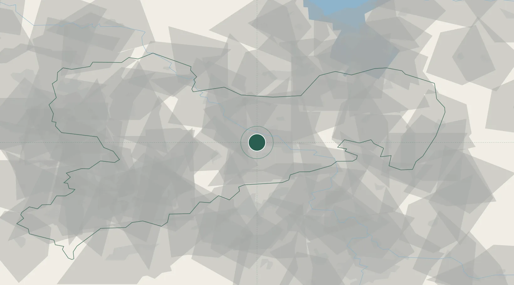
Place type
Populated place
Region
Saxony
Population
39,027
Time zone
Europe/Berlin
Elevation
171 m
Location
Nearby Logistics Neighbours
Cities
- 1Kesselsdorf5 km
- 2Dresden6 km
- 3Loschwitz12 km
- 4Laubegast13 km
- 5Moritzburg15 km
Ports
- 1Szczecin274 km
- 2Police290 km
- 3Swinoujscie325 km
- 4Wolgast337 km
- 5Wismar353 km
Airports
- 1Dresden Airport15 km
- 2Leipzig–Altenburg Airport80 km
- 3Holzdorf Air Base90 km
- 4Rothenburg/Görlitz Airfield99 km
- 5Vodochody Airport103 km
Trade Zones
DatabookThe Record of Consolidated Knowledge
Germany beyond logistics?