Transport Functions
Port
Road
Hub Profile
Place type
Urban district
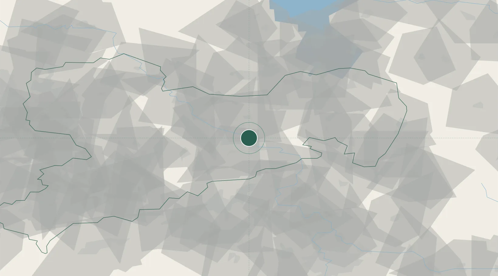
Region
Saxony
Time zone
Europe/Berlin
Elevation
115 m
Location
Nearby Logistics Neighbours
Ports
- 1Szczecin270 km
- 2Police286 km
- 3Swinoujscie322 km
- 4Wolgast336 km
- 5Wismar357 km
Airports
- 1Dresden Airport12 km
- 2Rothenburg/Görlitz Airfield86 km
- 3Leipzig–Altenburg Airport93 km
- 4Holzdorf Air Base94 km
- 5Vodochody Airport99 km
Trade Zones
DatabookThe Record of Consolidated Knowledge
Germany beyond logistics?