Transport Functions
Rail
Road
Hub Profile
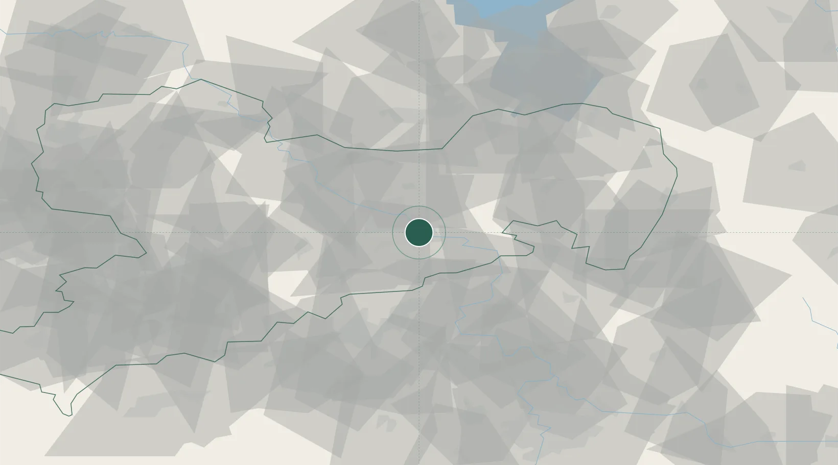
Place type
Populated place
Region
Saxony
Population
16,756
Time zone
Europe/Berlin
Elevation
120 m
Location
Nearby Logistics Neighbours
Cities
- 1Dohna4 km
- 2Copitz5 km
- 3Laubegast6 km
- 4Müglitztal6 km
- 5Loschwitz8 km
Ports
- 1Szczecin275 km
- 2Police291 km
- 3Swinoujscie327 km
- 4Wolgast341 km
- 5Wismar363 km
Airports
- 1Dresden Airport18 km
- 2Rothenburg/Görlitz Airfield87 km
- 3Vodochody Airport93 km
- 4Leipzig–Altenburg Airport95 km
- 5Holzdorf Air Base100 km
Trade Zones
DatabookThe Record of Consolidated Knowledge
Germany beyond logistics?