Transport Functions
Rail
Road
Hub Profile
Place type
Populated place
Region
Lower Saxony
Time zone
Europe/Berlin
Elevation
45 m
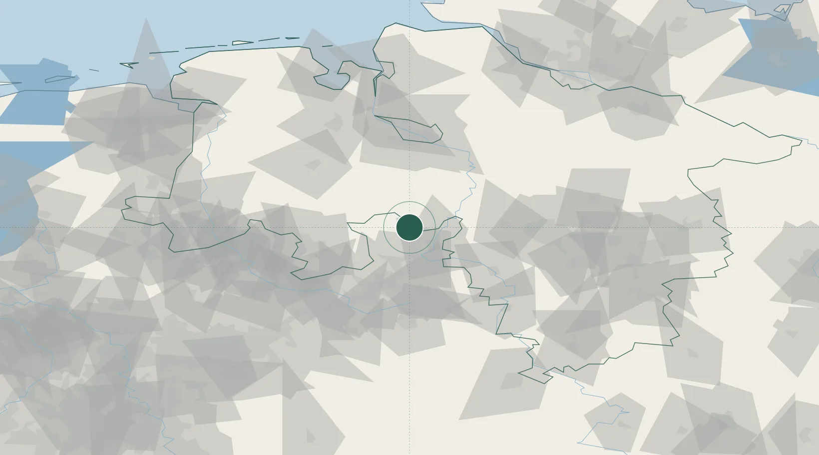
Location
Nearby Logistics Neighbours
Airports
- 1Bückeburg Air Base27 km
- 2Diepholz Air Base33 km
- 3Wunstorf Air Base46 km
- 4Bielefeld Airport52 km
- 5Hannover Airport64 km
Trade Zones
DatabookThe Record of Consolidated Knowledge
Germany beyond logistics?