UN/LOCODE hub · Germany
DEBES

Bad Essen

52.3167°, 8.3333°
15,732
Population
2
Transport functions

Transport Functions

Port
Road
UN/LOCODE

Hub Profile

Place type
Local administrative seat
GeoNames
Region
Lower Saxony
GeoNames
Population
15,732
GeoNames
Time zone
Europe/Berlin
GeoNames
Elevation
132 m
GeoNames

Location

Location of DEBES
Natural Earth 10m (public domain) · Lower Saxony · DEBES · 52.32, 8.33GoogleOSMYandex

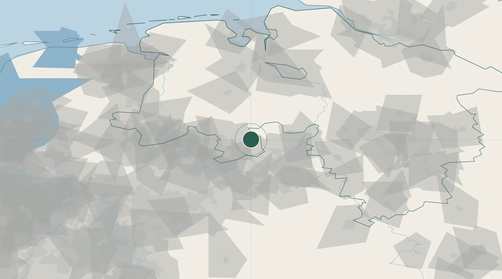
Nearby Logistics Neighbours

Cities
  1. 1Wittlage2 km
  2. 2Bohmte6 km
  3. 3Wimmer7 km
  4. 4Barlage10 km
  5. 5Freden13 km
Nearest neighbours — logibook spatial index (haversine) over the source coordinates
Ports
  1. 1Oldenburg89 km
  2. 2Bremen95 km
  3. 3Elsfleth102 km
  4. 4Papenburg108 km
  5. 5Brake114 km
Nearest neighbours — logibook spatial index (haversine) over the source coordinates
Airports
  1. 1Diepholz Air Base30 km
  2. 2Bielefeld Airport42 km
  3. 3Münster Osnabrück Airport48 km
  4. 4Bückeburg Air Base51 km
  5. 5Wunstorf Air Base76 km
Nearest neighbours — logibook spatial index (haversine) over the source coordinates
Trade Zones
  1. 1Freeport of Bremerhaven (Freihafen Bremerhaven)91 km
  2. 2Freeport of Emden137 km
  3. 3Freeport of Duisburg154 km
  4. 4Freeport of Cuxhaven (Freihafen Cuxhaven)169 km
  5. 5Rheinische Revier SWZ207 km
Nearest neighbours — logibook spatial index (haversine) over the source coordinates
DatabookThe Record of Consolidated Knowledge
Germany beyond logistics?
Browse databook

All Sources

LocationsUN/LOCODE
UN/LOCODE — free
LocationsGeoNames
CC BY 4.0
Portsthe NGA World Port Index
Public domain (US gov)
AirportsOurAirports
Public domain
Trade Zonesthe World Bank SEZ database
CC BY 4.0
Trade ZonesOpen Zone Map
CC BY
← Germany locations