Transport Functions
Rail
Road
Multimodal
Hub Profile
Place type
Urban district
Region
Hesse
Population
13,129
Time zone
Europe/Berlin
Elevation
109 m
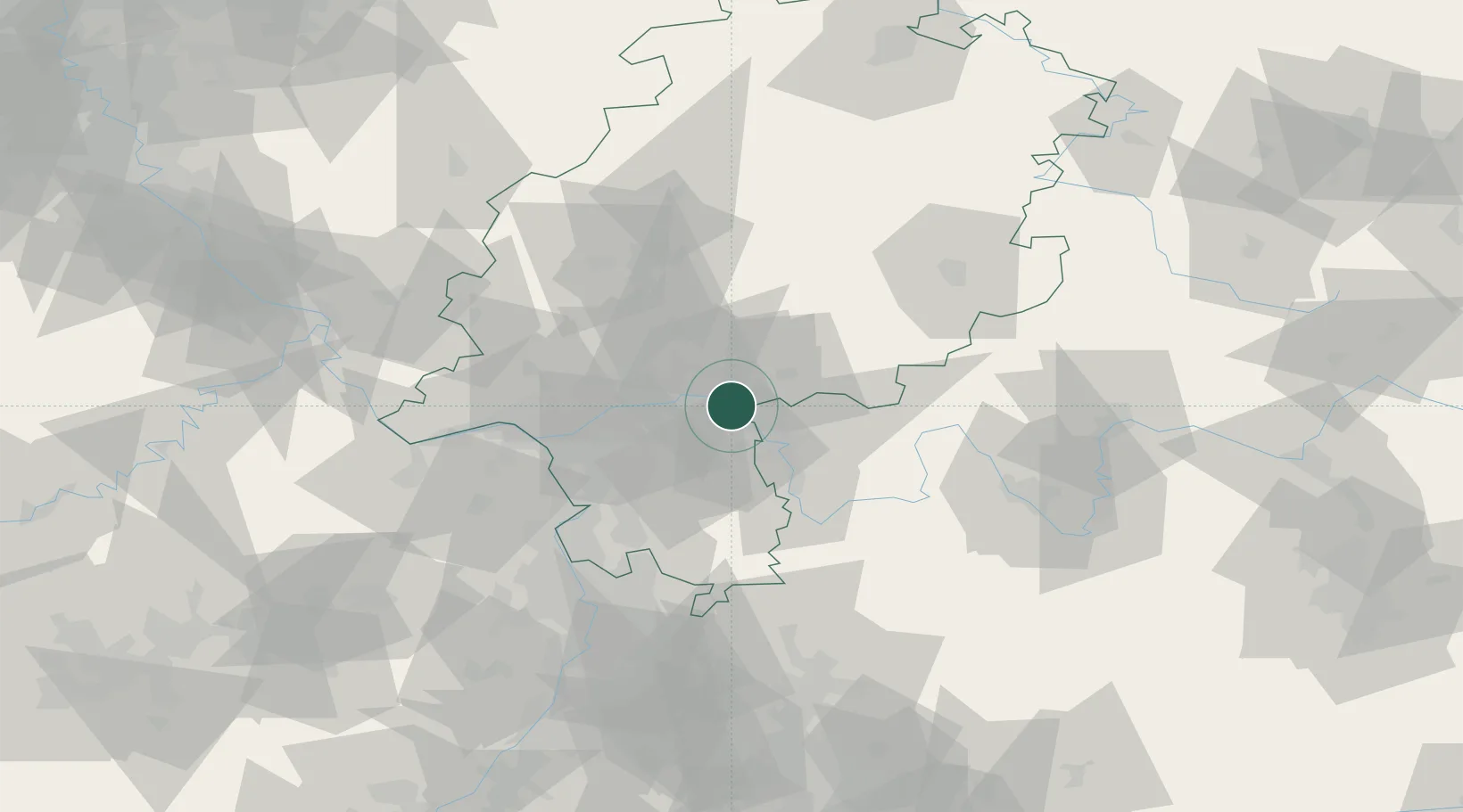
Location
Nearby Logistics Neighbours
Cities
- 1Hainburg2 km
- 2Gross Krotzenburg3 km
- 3Kesselstadt5 km
- 4Hanau5 km
- 5Mühlheim am Main9 km
Airports
- 1Frankfurt-Egelsbach Airport27 km
- 2Frankfurt Main Airport29 km
- 3Wiesbaden Army Airfield45 km
- 4Mainz-Finthen Airfield59 km
- 5Mannheim-City Airport76 km
Trade Zones
- 1ZFU La Cité Behren-lès-Forbach179 km
- 2ZFU Hautepierre191 km
- 3ZFU Neuhof194 km
- 4Luxembourg Free Port202 km
- 5Rheinische Revier SWZ203 km
DatabookThe Record of Consolidated Knowledge
Germany beyond logistics?