Transport Functions
Rail
Road
Hub Profile
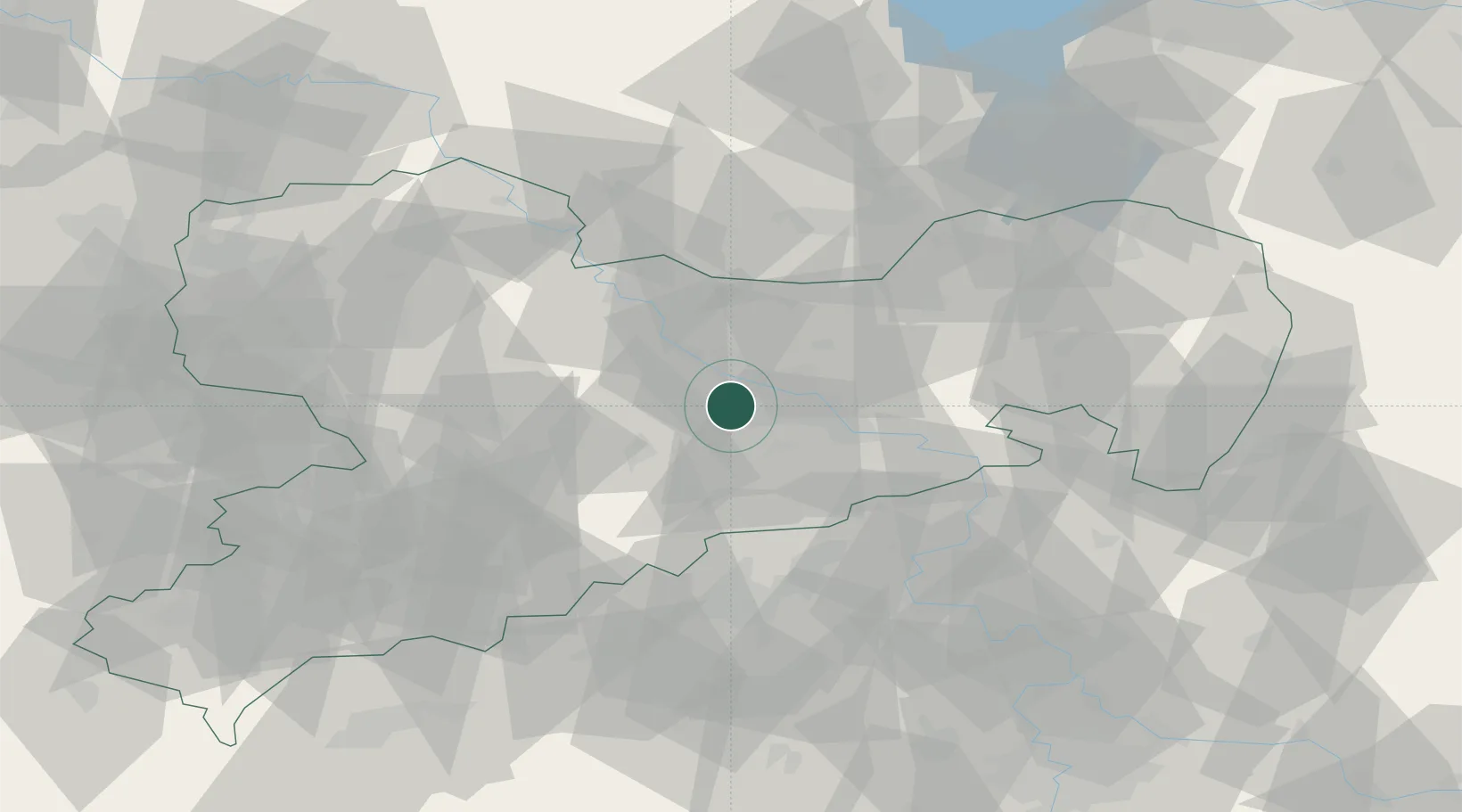
Place type
Populated place
Region
Saxony
Time zone
Europe/Berlin
Elevation
308 m
Location
Nearby Logistics Neighbours
Cities
- 1Freital5 km
- 2Dresden9 km
- 3Sörnewitz12 km
- 4Moritzburg14 km
- 5Meissen15 km
Ports
- 1Szczecin273 km
- 2Police290 km
- 3Swinoujscie324 km
- 4Wolgast336 km
- 5Wismar350 km
Airports
- 1Dresden Airport17 km
- 2Leipzig–Altenburg Airport76 km
- 3Holzdorf Air Base87 km
- 4Rothenburg/Görlitz Airfield102 km
- 5Leipzig/Halle Airport103 km
Trade Zones
DatabookThe Record of Consolidated Knowledge
Germany beyond logistics?