Transport Functions
Rail
Road
Hub Profile
Region
HE
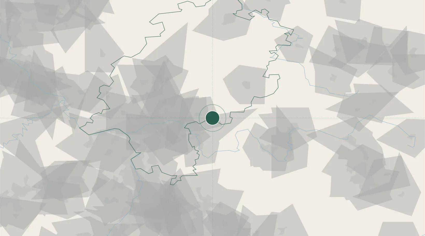
Location
Nearby Logistics Neighbours
Cities
- 1Blankenbach12 km
- 2Mömbris15 km
- 3Heigenbruecken16 km
- 4Frammersbach16 km
- 5Wiesthal (Unterfr)18 km
Airports
- 1Frankfurt-Egelsbach Airport52 km
- 2Frankfurt Main Airport55 km
- 3Wiesbaden Army Airfield71 km
- 4Mainz-Finthen Airfield85 km
- 5Mannheim-City Airport96 km
Trade Zones
- 1ZFU La Cité Behren-lès-Forbach204 km
- 2ZFU Hautepierre210 km
- 3ZFU Neuhof212 km
- 4Rheinische Revier SWZ222 km
- 5Luxembourg Free Port228 km
DatabookThe Record of Consolidated Knowledge
Germany beyond logistics?