Transport Functions
Road
Multimodal
Hub Profile
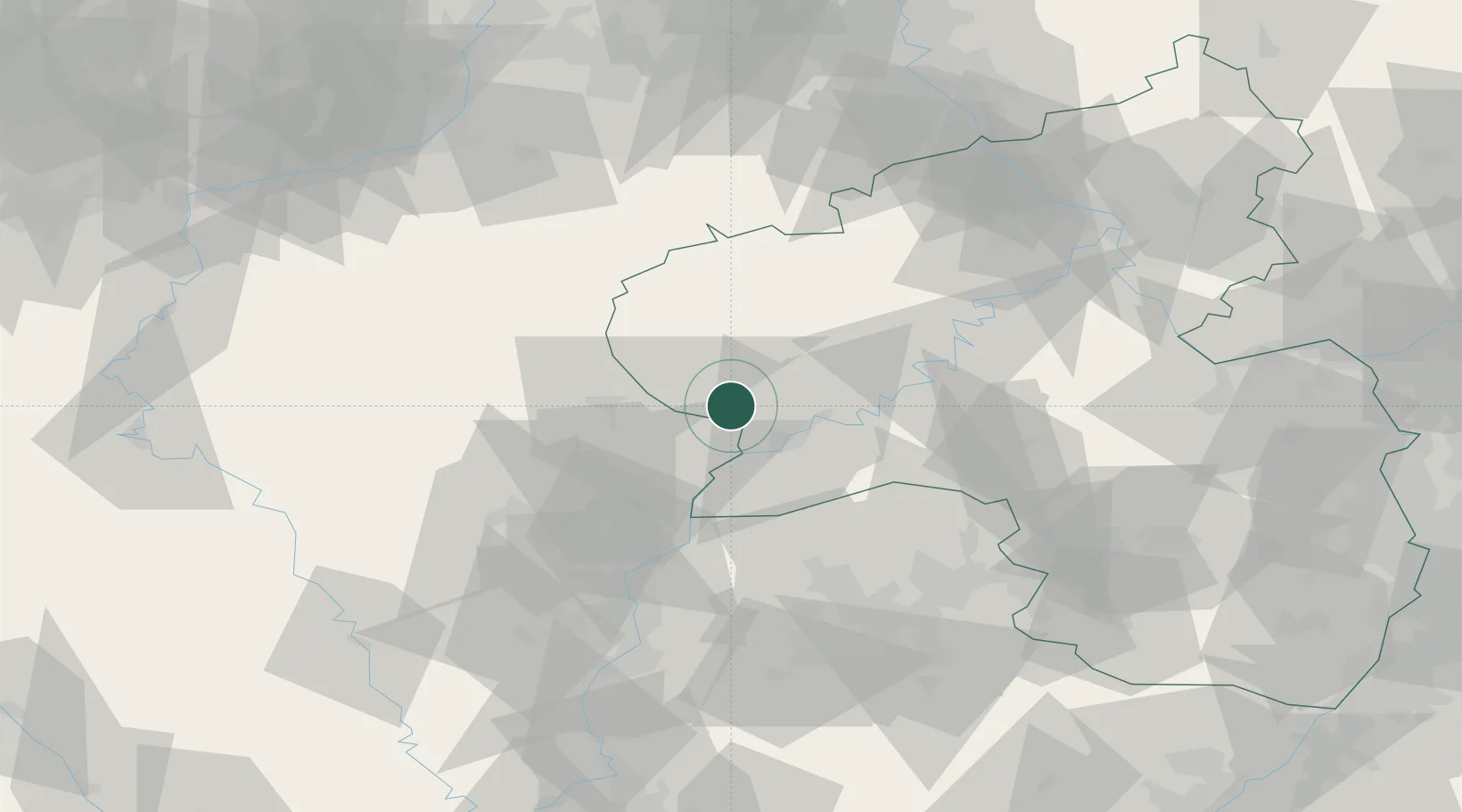
Place type
Local administrative seat
Region
Rheinland-Pfalz
Population
1,324
Time zone
Europe/Berlin
Elevation
180 m
Location
Nearby Logistics Neighbours
Cities
- 1Alsdorf, Bitburg4 km
- 2Grundhof11 km
- 3Langsur15 km
- 4Oberbillig15 km
- 5Mertert17 km
Airports
- 1Spangdahlem Air Base22 km
- 2Luxembourg-Findel International Airport31 km
- 3Büchel Air Base56 km
- 4Frankfurt-Hahn Airport58 km
- 5Saarbrücken Airport85 km
Trade Zones
- 1Luxembourg Free Port29 km
- 2ZFU Woippy-Metz81 km
- 3ZFU La Cité Behren-lès-Forbach83 km
- 4ZFU Metz86 km
- 5Rheinische Revier SWZ118 km
DatabookThe Record of Consolidated Knowledge
Germany beyond logistics?