Transport Functions
Port
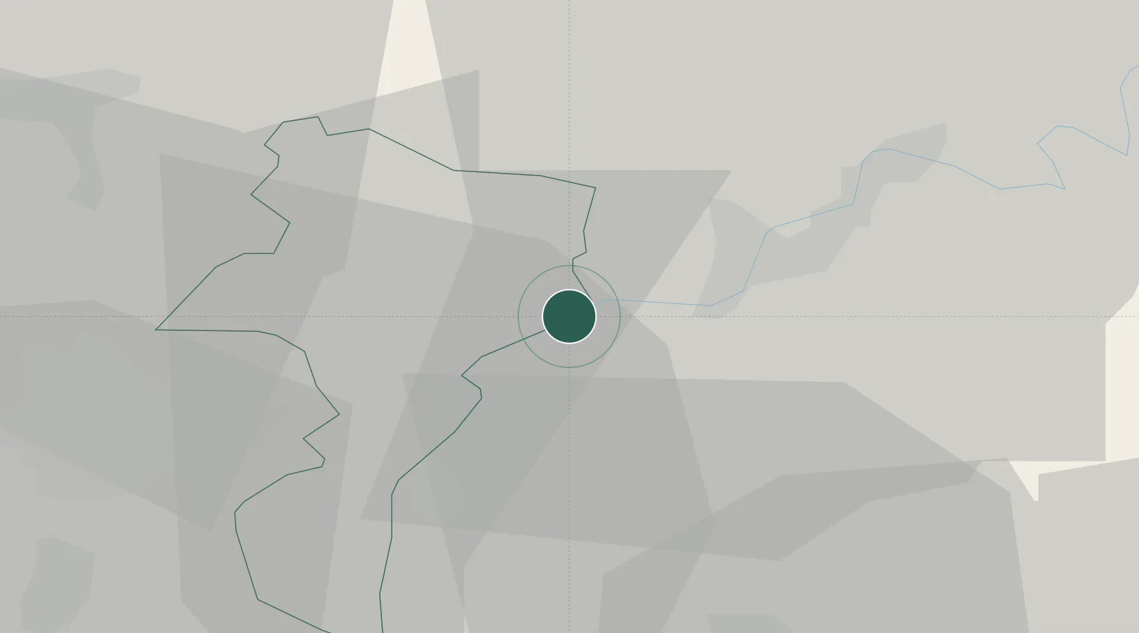
Hub Profile
Place type
District seat
Region
Grevenmacher
Population
1,163
Time zone
Europe/Luxembourg
Elevation
148 m
Location
Nearby Logistics Neighbours
Cities
- 1Langsur2 km
- 2Oberbillig2 km
- 3Temmels2 km
- 4Wiltingen9 km
- 5Wormeldange13 km
Airports
- 1Luxembourg-Findel International Airport21 km
- 2Spangdahlem Air Base34 km
- 3Frankfurt-Hahn Airport62 km
- 4Büchel Air Base67 km
- 5Saarbrücken Airport71 km
Trade Zones
- 1Luxembourg Free Port20 km
- 2ZFU Woippy-Metz66 km
- 3ZFU La Cité Behren-lès-Forbach67 km
- 4ZFU Metz70 km
- 5ZFU Maxéville, Laxou, et de Nancy113 km
DatabookThe Record of Consolidated Knowledge
Luxembourg beyond logistics?