Transport Functions
Rail
Road
Hub Profile
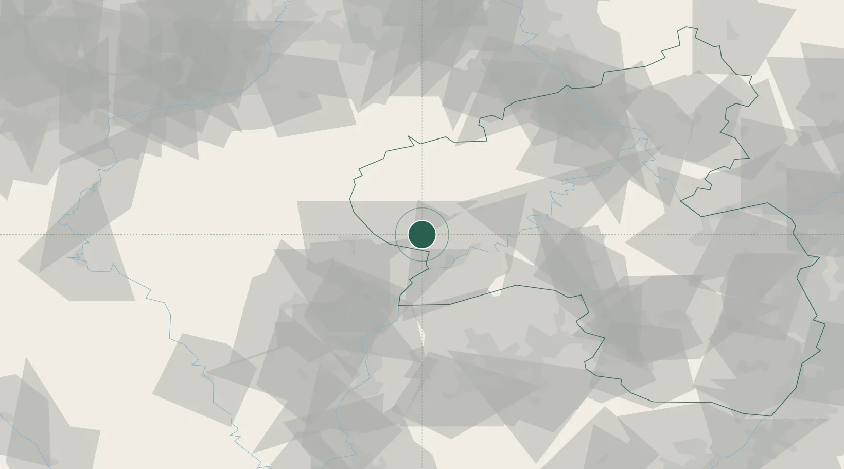
Region
RP
Location
Nearby Logistics Neighbours
Cities
- 1Irrel4 km
- 2Grundhof12 km
- 3Badem17 km
- 4Langsur19 km
- 5Oberbillig19 km
Airports
- 1Spangdahlem Air Base20 km
- 2Luxembourg-Findel International Airport34 km
- 3Büchel Air Base54 km
- 4Frankfurt-Hahn Airport57 km
- 5Saarbrücken Airport88 km
Trade Zones
- 1Luxembourg Free Port32 km
- 2ZFU Woippy-Metz85 km
- 3ZFU La Cité Behren-lès-Forbach86 km
- 4ZFU Metz89 km
- 5Rheinische Revier SWZ114 km
DatabookThe Record of Consolidated Knowledge
Germany beyond logistics?