Transport Functions
Multimodal
Hub Profile
Place type
Local administrative seat
Region
Bavaria
Population
1,292
Time zone
Europe/Berlin
Elevation
406 m
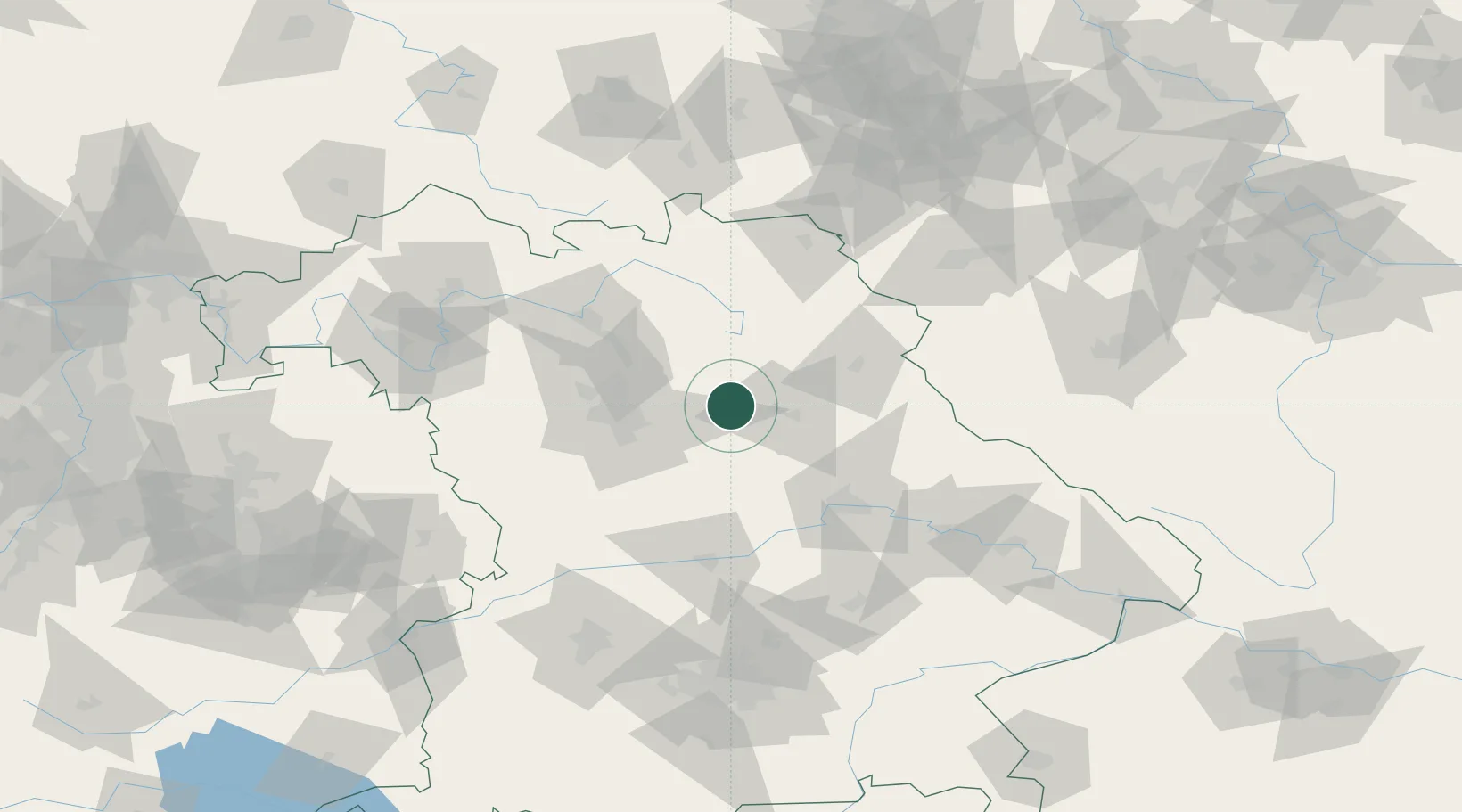
Location
Nearby Logistics Neighbours
Cities
- 1Pommelsbrunn4 km
- 2Happurg7 km
- 3Illschwang10 km
- 4Breitenbrunn11 km
- 5Hartenstein12 km
Ports
- 1Nogaro433 km
- 2Monfalcone439 km
- 3Grado442 km
- 4Bremen448 km
- 5Trieste458 km
Airports
- 1Grafenwöhr Army Air Field35 km
- 2Nuremberg Airport35 km
- 3Hohenfels Army Airfield37 km
- 4Bayreuth Airport54 km
- 5Bamberg-Breitenau Airfield66 km
Trade Zones
DatabookThe Record of Consolidated Knowledge
Germany beyond logistics?