Transport Functions
Multimodal
Hub Profile
Place type
Local administrative seat
Region
Bavaria
Population
1,926
Time zone
Europe/Berlin
Elevation
341 m
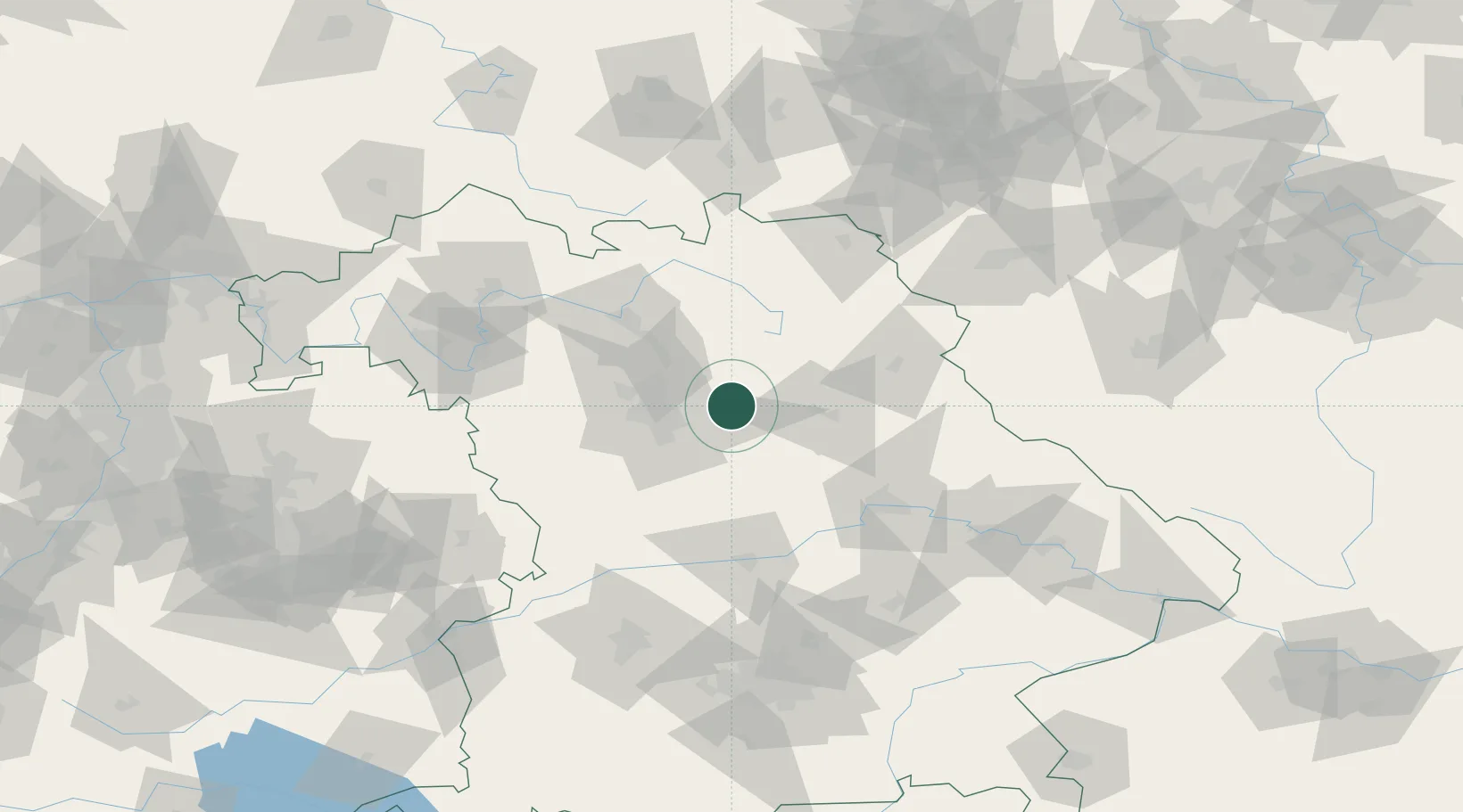
Location
Nearby Logistics Neighbours
Cities
- 1Speikern4 km
- 2Happurg6 km
- 3Breitenbrunn7 km
- 4Lauf an der Pegnitz8 km
- 5Schnaittach8 km
Ports
- 1Nogaro437 km
- 2Bremen443 km
- 3Monfalcone444 km
- 4Grado447 km
- 5Oldenburg458 km
Airports
- 1Nuremberg Airport22 km
- 2Hohenfels Army Airfield46 km
- 3Grafenwöhr Army Air Field46 km
- 4Bayreuth Airport57 km
- 5Bamberg-Breitenau Airfield58 km
Trade Zones
DatabookThe Record of Consolidated Knowledge
Germany beyond logistics?