Transport Functions
Multimodal
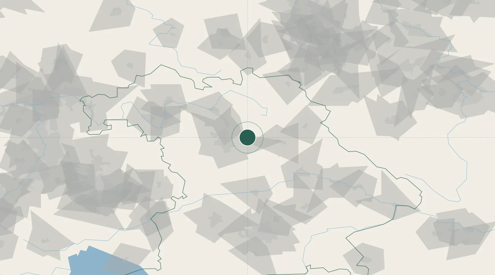
Hub Profile
Place type
Populated place
Region
Bavaria
Time zone
Europe/Berlin
Elevation
343 m
Location
Nearby Logistics Neighbours
Cities
- 1Schnaittach4 km
- 2Henfenfeld4 km
- 3Lauf an der Pegnitz5 km
- 4Röthenbach an der Pegnitz9 km
- 5Happurg9 km
Ports
- 1Bremen439 km
- 2Nogaro441 km
- 3Monfalcone448 km
- 4Grado451 km
- 5Oldenburg454 km
Airports
- 1Nuremberg Airport20 km
- 2Grafenwöhr Army Air Field46 km
- 3Hohenfels Army Airfield50 km
- 4Bamberg-Breitenau Airfield53 km
- 5Bayreuth Airport54 km
Trade Zones
- 1Freeport of Deggendorf136 km
- 2Podbořany Industrial Zone166 km
- 3Žatec - Triangle Strategic Industrial Zone183 km
- 4Most - Joseph Industrial Zone195 km
- 5ZFU Neuhof284 km
DatabookThe Record of Consolidated Knowledge
Germany beyond logistics?