Transport Functions
Rail
Road
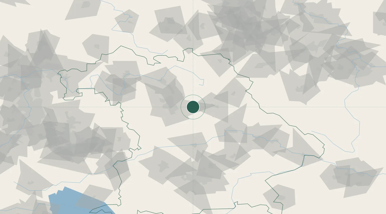
Hub Profile
Place type
Populated place
Region
Bavaria
Time zone
Europe/Berlin
Elevation
460 m
Location
Nearby Logistics Neighbours
Cities
- 1Happurg6 km
- 2Henfenfeld7 km
- 3Pommelsbrunn8 km
- 4Speikern11 km
- 5Weigendorf11 km
Ports
- 1Nogaro431 km
- 2Monfalcone437 km
- 3Grado440 km
- 4Bremen450 km
- 5Porto Di Lido-Venezia455 km
Airports
- 1Nuremberg Airport26 km
- 2Hohenfels Army Airfield39 km
- 3Grafenwöhr Army Air Field46 km
- 4Bayreuth Airport61 km
- 5Bamberg-Breitenau Airfield64 km
Trade Zones
DatabookThe Record of Consolidated Knowledge
Germany beyond logistics?