Transport Functions
Rail
Road
Hub Profile
Place type
Populated place
Region
Bavaria
Population
8,238
Time zone
Europe/Berlin
Elevation
349 m
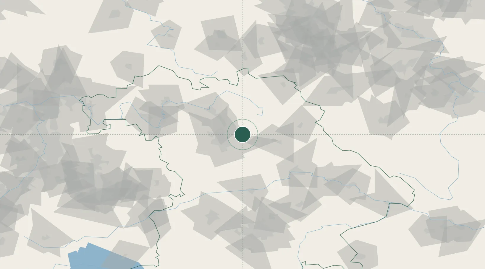
Location
Nearby Logistics Neighbours
Cities
- 1Speikern4 km
- 2Lauf an der Pegnitz7 km
- 3Henfenfeld8 km
- 4Eckental11 km
- 5Röthenbach an der Pegnitz11 km
Ports
- 1Bremen435 km
- 2Nogaro445 km
- 3Oldenburg450 km
- 4Monfalcone452 km
- 5Hamburg453 km
Airports
- 1Nuremberg Airport20 km
- 2Grafenwöhr Army Air Field46 km
- 3Bamberg-Breitenau Airfield50 km
- 4Bayreuth Airport52 km
- 5Hohenfels Army Airfield53 km
Trade Zones
- 1Freeport of Deggendorf139 km
- 2Podbořany Industrial Zone166 km
- 3Žatec - Triangle Strategic Industrial Zone182 km
- 4Most - Joseph Industrial Zone194 km
- 5ZFU Neuhof284 km
DatabookThe Record of Consolidated Knowledge
Germany beyond logistics?