Transport Functions
Multimodal
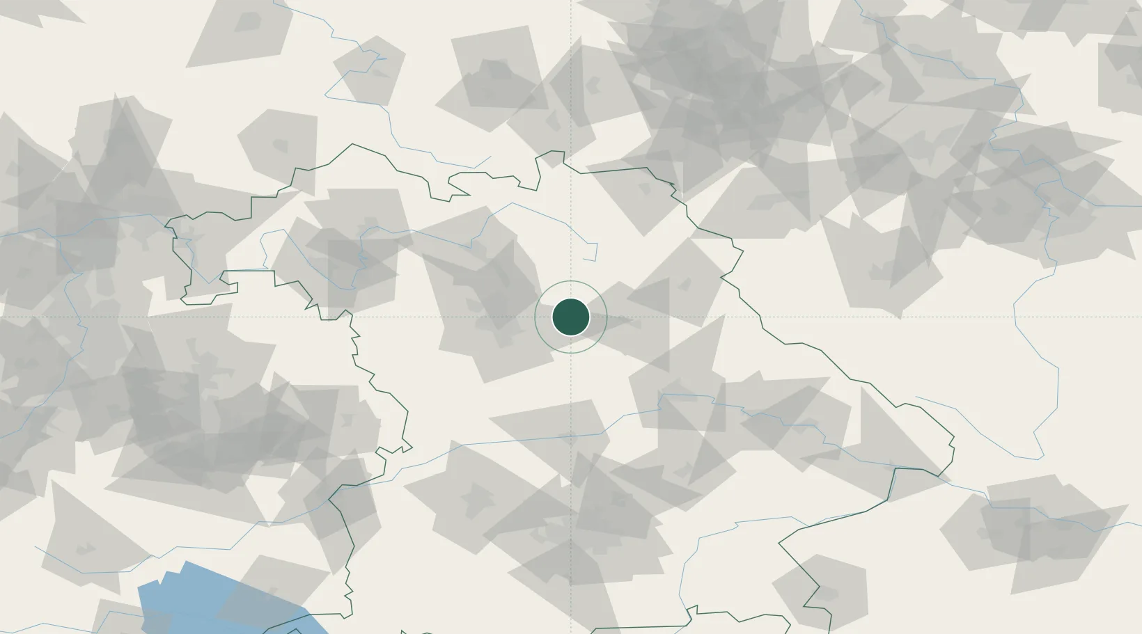
Hub Profile
Place type
Local administrative seat
Region
Bavaria
Population
3,779
Time zone
Europe/Berlin
Elevation
354 m
Location
Nearby Logistics Neighbours
Cities
- 1Pommelsbrunn4 km
- 2Henfenfeld6 km
- 3Breitenbrunn6 km
- 4Weigendorf7 km
- 5Speikern9 km
Ports
- 1Nogaro435 km
- 2Monfalcone442 km
- 3Grado445 km
- 4Bremen445 km
- 5Porto Di Lido-Venezia460 km
Airports
- 1Nuremberg Airport28 km
- 2Grafenwöhr Army Air Field41 km
- 3Hohenfels Army Airfield41 km
- 4Bayreuth Airport55 km
- 5Bamberg-Breitenau Airfield61 km
Trade Zones
DatabookThe Record of Consolidated Knowledge
Germany beyond logistics?