UN/LOCODE hub · Germany
DELAF
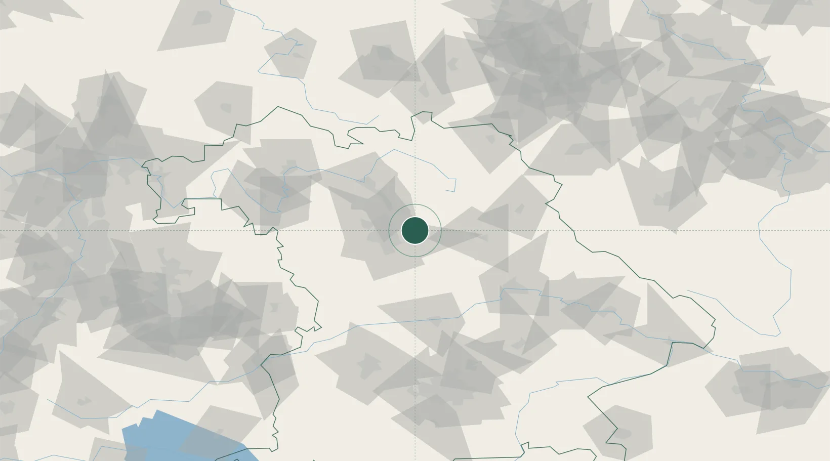
Lauf an der Pegnitz
49.5167°, 11.2833°
26,403
Population
2
Transport functions
Transport Functions
Rail
Road
Hub Profile
Place type
District seat
Region
Bavaria
Population
26,403
Time zone
Europe/Berlin
Elevation
334 m
Location
Nearby Logistics Neighbours
Cities
- 1Röthenbach an der Pegnitz4 km
- 2Speikern5 km
- 3Schnaittach7 km
- 4Henfenfeld8 km
- 5Schwaig8 km
Ports
- 1Bremen439 km
- 2Nogaro441 km
- 3Monfalcone449 km
- 4Grado451 km
- 5Oldenburg453 km
Airports
- 1Nuremberg Airport15 km
- 2Grafenwöhr Army Air Field52 km
- 3Hohenfels Army Airfield52 km
- 4Bamberg-Breitenau Airfield52 km
- 5Bayreuth Airport58 km
Trade Zones
- 1Freeport of Deggendorf139 km
- 2Podbořany Industrial Zone171 km
- 3Žatec - Triangle Strategic Industrial Zone188 km
- 4Most - Joseph Industrial Zone200 km
- 5ZFU Neuhof279 km
DatabookThe Record of Consolidated Knowledge
Germany beyond logistics?