Transport Functions
Multimodal
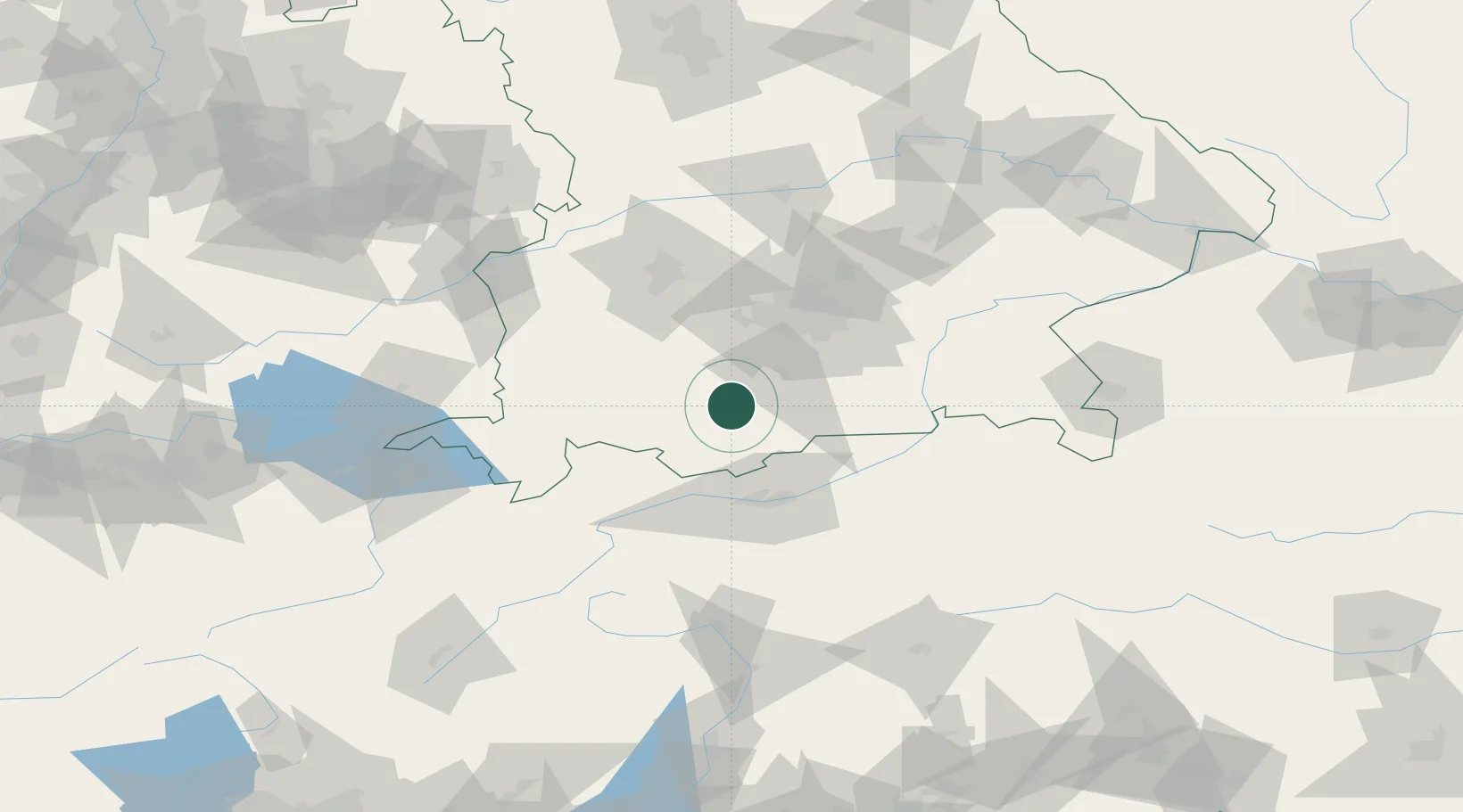
Hub Profile
Place type
Local administrative seat
Region
Bavaria
Population
1,454
Time zone
Europe/Berlin
Elevation
662 m
Location
Nearby Logistics Neighbours
Cities
- 1Huglfing5 km
- 2Iffeldorf8 km
- 3Polling, Weilheim-Schongau11 km
- 4Weilheim in Oberbayern12 km
- 5Seeshaupt13 km
Ports
- 1Nogaro265 km
- 2Porto Di Lido-Venezia274 km
- 3Grado277 km
- 4Monfalcone280 km
- 5Porto Di Chioggia290 km
Airports
- 1Oberpfaffenhofen Airport39 km
- 2Innsbruck Airport54 km
- 3Lechfeld Air Base57 km
- 4Altstetten Ultralight Field64 km
- 5Memmingen Allgau Airport78 km
Trade Zones
- 1Livigno Free Trade Zone158 km
- 2Freeport of Deggendorf176 km
- 3Consorzio Zona Industriale e Porto Fluviale di Padova266 km
- 4Free Port of Venice269 km
- 5ZFU Neuhof272 km
DatabookThe Record of Consolidated Knowledge
Germany beyond logistics?