Transport Functions
Rail
Road
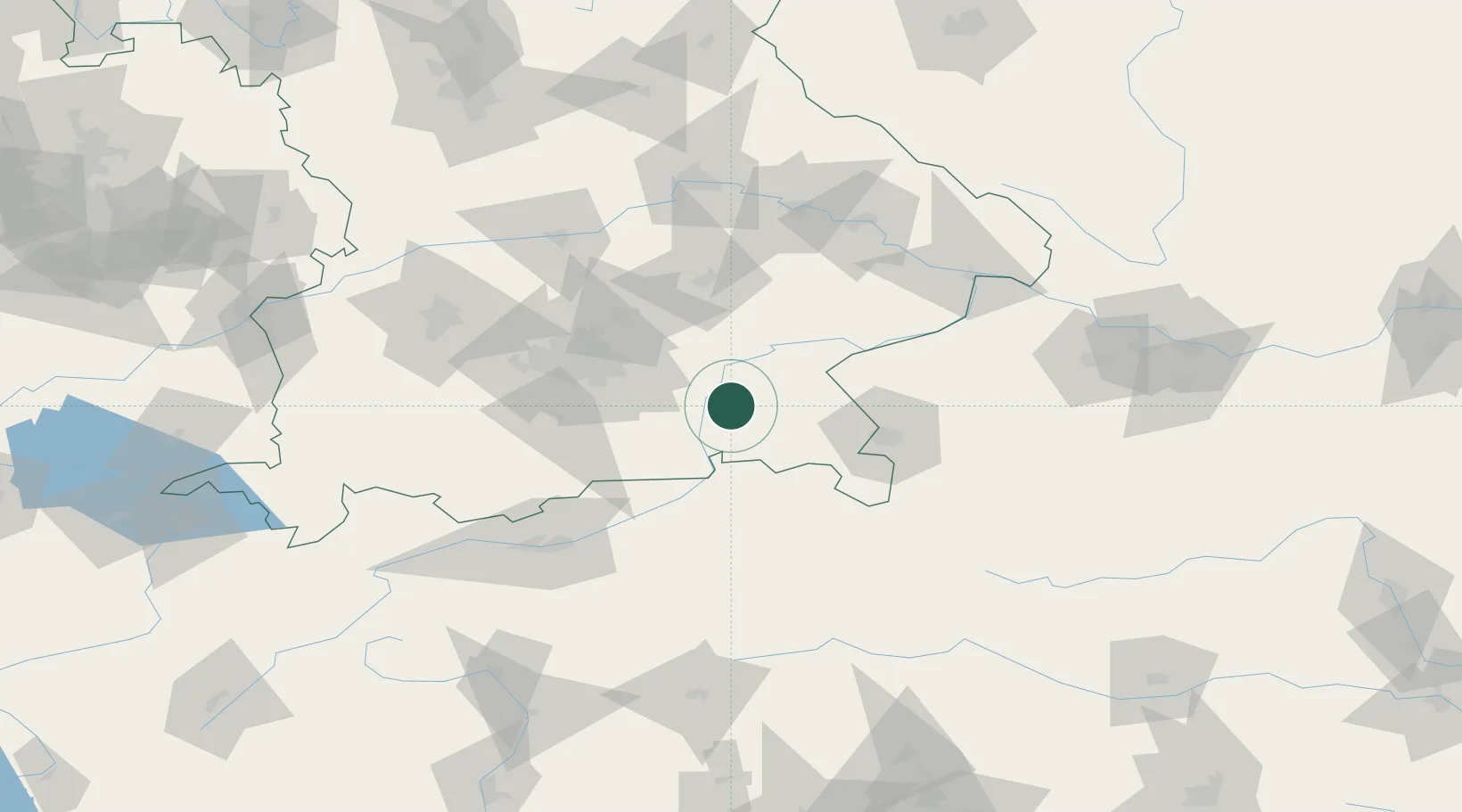
Hub Profile
Place type
Local administrative seat
Region
Bavaria
Population
2,754
Time zone
Europe/Berlin
Elevation
502 m
Location
Nearby Logistics Neighbours
Cities
- 1Hoslwang4 km
- 2Amerang6 km
- 3Rimsting8 km
- 4Prutting8 km
- 5Prien/Chiemsee10 km
Ports
- 1Nogaro253 km
- 2Monfalcone259 km
- 3Grado262 km
- 4Trieste279 km
- 5Porto Di Lido-Venezia282 km
Airports
- 1Salzburg Airport57 km
- 2Munich Airport58 km
- 3Landshut Airfield65 km
- 4Oberpfaffenhofen Airport76 km
- 5Altstetten Ultralight Field84 km
Trade Zones
- 1Freeport of Deggendorf110 km
- 2Livigno Free Trade Zone228 km
- 3Podbořany Industrial Zone266 km
- 4Free Port of Trieste280 km
- 5Free Port of Venice280 km
DatabookThe Record of Consolidated Knowledge
Germany beyond logistics?