UN/LOCODE hub · Germany
DERMS

Rimsting

47.8833°, 12.3333°
3,476
Population
1
Transport functions

Transport Functions

Multimodal
UN/LOCODE

Hub Profile

Place type
Local administrative seat
GeoNames
Region
Bavaria
GeoNames
Population
3,476
GeoNames
Time zone
Europe/Berlin
GeoNames
Elevation
562 m
GeoNames

Location

Location of DERMS
Natural Earth 10m (public domain) · Bavaria · DERMS · 47.88, 12.33GoogleOSMYandex

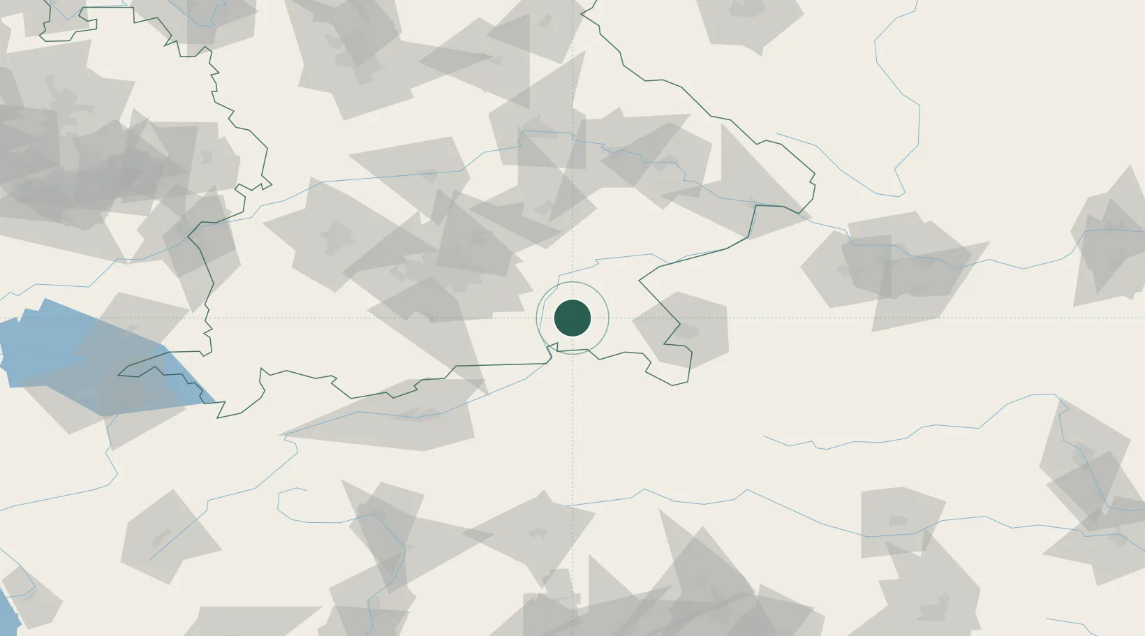
Nearby Logistics Neighbours

Cities
  1. 1Prien/Chiemsee2 km
  2. 2Hoslwang7 km
  3. 3Halfing8 km
  4. 4Prutting10 km
  5. 5Stephanskirchen12 km
Nearest neighbours — logibook spatial index (haversine) over the source coordinates
Ports
  1. 1Nogaro245 km
  2. 2Monfalcone251 km
  3. 3Grado254 km
  4. 4Trieste271 km
  5. 5Porto Di Lido-Venezia274 km
Nearest neighbours — logibook spatial index (haversine) over the source coordinates
Airports
  1. 1Salzburg Airport51 km
  2. 2Munich Airport66 km
  3. 3Landshut Airfield73 km
  4. 4Oberpfaffenhofen Airport81 km
  5. 5Altstetten Ultralight Field91 km
Nearest neighbours — logibook spatial index (haversine) over the source coordinates
Trade Zones
  1. 1Freeport of Deggendorf115 km
  2. 2Livigno Free Trade Zone226 km
  3. 3Free Port of Trieste271 km
  4. 4Podbořany Industrial Zone272 km
  5. 5Free Port of Venice273 km
Nearest neighbours — logibook spatial index (haversine) over the source coordinates
DatabookThe Record of Consolidated Knowledge
Germany beyond logistics?
Browse databook

All Sources

LocationsUN/LOCODE
UN/LOCODE — free
LocationsGeoNames
CC BY 4.0
Portsthe NGA World Port Index
Public domain (US gov)
AirportsOurAirports
Public domain
Trade Zonesthe World Bank SEZ database
CC BY 4.0
Trade ZonesOpen Zone Map
CC BY
← Germany locations