UN/LOCODE hub · Germany
DEPRI

Prien/Chiemsee

47.8667°, 12.3333°
2
Transport functions

Transport Functions

Rail
Road
UN/LOCODE

Hub Profile

Region
BY
GeoNames

Location

Location of DEPRI
Natural Earth 10m (public domain) · BY · DEPRI · 47.87, 12.33GoogleOSMYandex

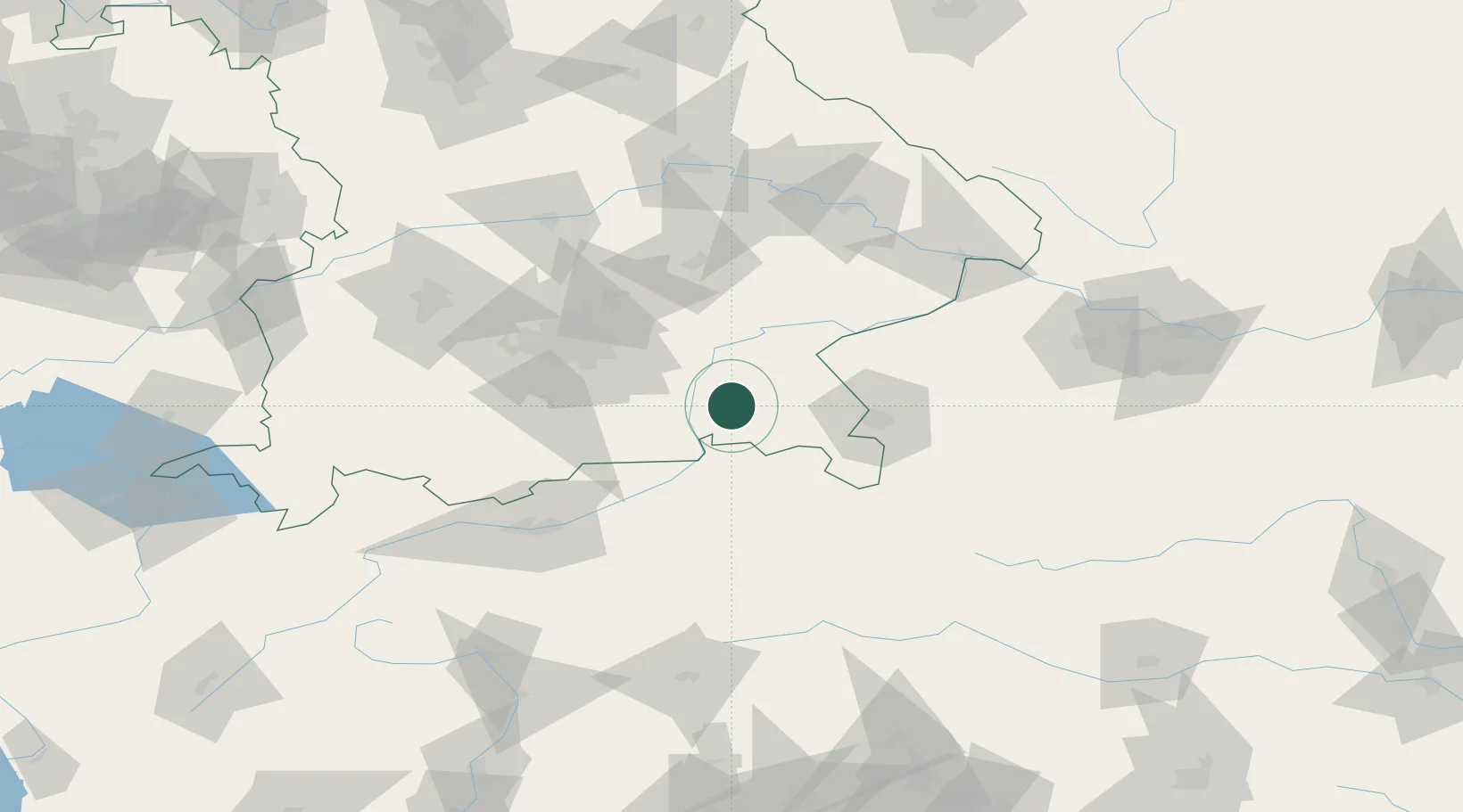
Nearby Logistics Neighbours

Cities
  1. 1Rimsting2 km
  2. 2Hoslwang9 km
  3. 3Halfing10 km
  4. 4Prutting11 km
  5. 5Stephanskirchen11 km
Nearest neighbours — logibook spatial index (haversine) over the source coordinates
Ports
  1. 1Nogaro243 km
  2. 2Monfalcone250 km
  3. 3Grado252 km
  4. 4Trieste269 km
  5. 5Porto Di Lido-Venezia273 km
Nearest neighbours — logibook spatial index (haversine) over the source coordinates
Airports
  1. 1Salzburg Airport51 km
  2. 2Munich Airport68 km
  3. 3Landshut Airfield75 km
  4. 4Oberpfaffenhofen Airport82 km
  5. 5Altstetten Ultralight Field92 km
Nearest neighbours — logibook spatial index (haversine) over the source coordinates
Trade Zones
  1. 1Freeport of Deggendorf117 km
  2. 2Livigno Free Trade Zone225 km
  3. 3Free Port of Trieste270 km
  4. 4Free Port of Venice271 km
  5. 5Podbořany Industrial Zone274 km
Nearest neighbours — logibook spatial index (haversine) over the source coordinates
DatabookThe Record of Consolidated Knowledge
Germany beyond logistics?
Browse databook

All Sources

LocationsUN/LOCODE
UN/LOCODE — free
Portsthe NGA World Port Index
Public domain (US gov)
AirportsOurAirports
Public domain
Trade Zonesthe World Bank SEZ database
CC BY 4.0
Trade ZonesOpen Zone Map
CC BY
← Germany locations