Transport Functions
Multimodal
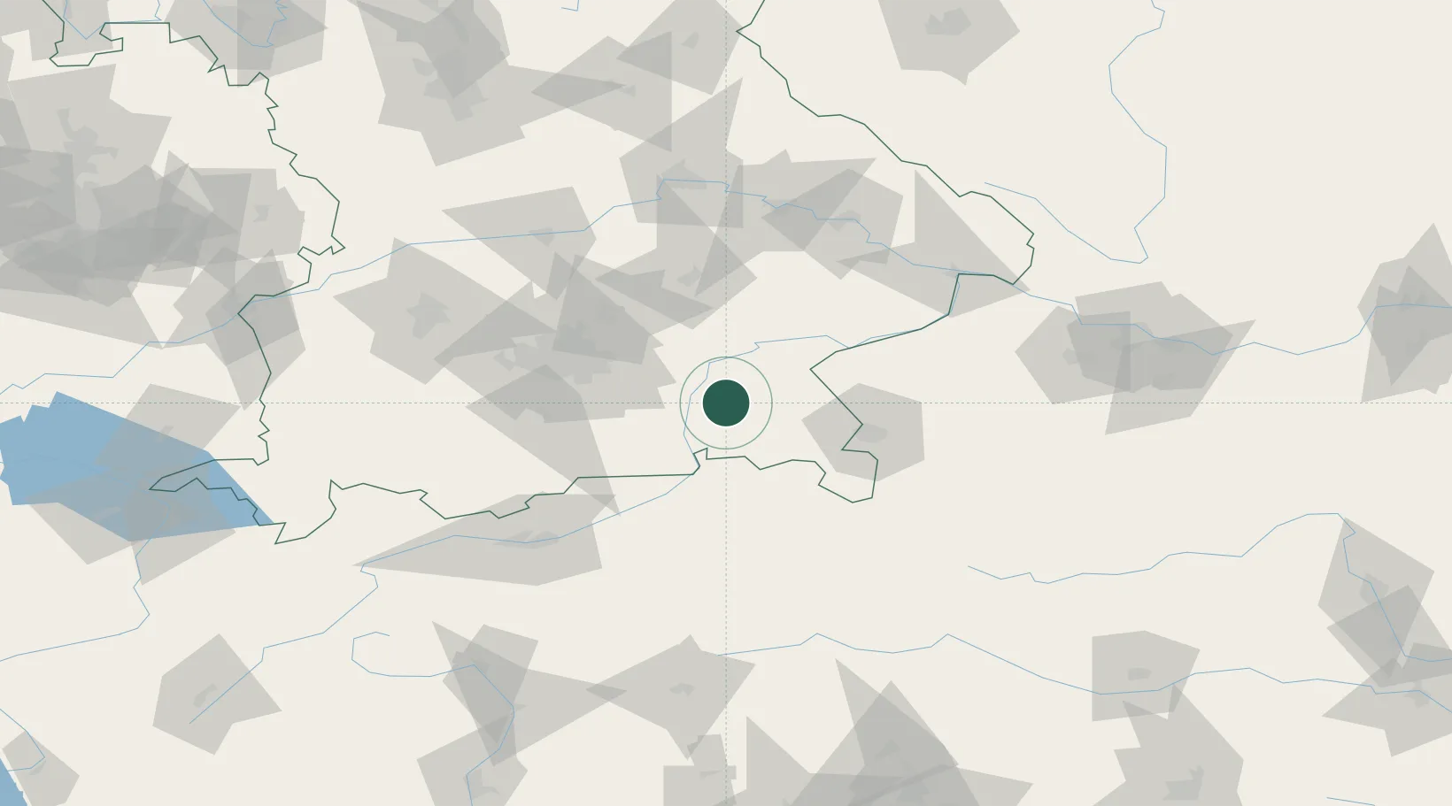
Hub Profile
Place type
Local administrative seat
Region
Bavaria
Population
1,228
Time zone
Europe/Berlin
Elevation
594 m
Location
Nearby Logistics Neighbours
Cities
- 1Halfing4 km
- 2Amerang6 km
- 3Rimsting7 km
- 4Prien/Chiemsee9 km
- 5Seeon-Seebruck10 km
Ports
- 1Nogaro252 km
- 2Monfalcone258 km
- 3Grado261 km
- 4Trieste277 km
- 5Porto Di Lido-Venezia282 km
Airports
- 1Salzburg Airport53 km
- 2Munich Airport61 km
- 3Landshut Airfield66 km
- 4Oberpfaffenhofen Airport80 km
- 5Altstetten Ultralight Field87 km
Trade Zones
- 1Freeport of Deggendorf108 km
- 2Livigno Free Trade Zone231 km
- 3Podbořany Industrial Zone265 km
- 4Free Port of Trieste278 km
- 5Free Port of Venice280 km
DatabookThe Record of Consolidated Knowledge
Germany beyond logistics?