About
Methodology
Sources
Licensing
English
EN
English
TR
Türkçe
DE
Deutsch
FR
Français
ES
Español
IT
Italiano
PT
Português
NL
Nederlands
PL
Polski
RU
Русский
UK
Українська
CS
Čeština
RO
Română
EL
Ελληνικά
BG
Български
AR
العربية
FA
فارسی
UR
اردو
HI
हिन्दी
BN
বাংলা
ID
Bahasa Indonesia
VI
Tiếng Việt
ZH
中文
JA
日本語
KO
한국어
logibook
/
Countries
/
Germany
/
Locations
/
Bullenhausen
UN/LOCODE hub ·
Germany
DE
BEU
Bullenhausen
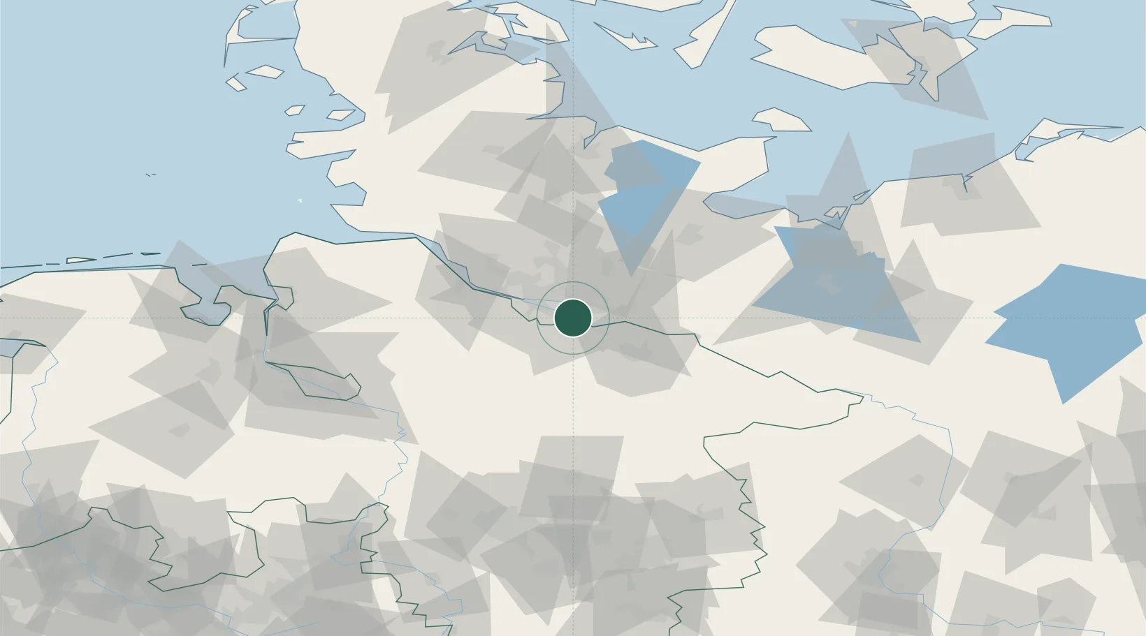
53.4500°, 10.0833°
2
Transport functions
Transport Functions
Port
Road
UN/LOCODE
Hub Profile
Place type
Populated place
GeoNames
Region
Lower Saxony
GeoNames
Time zone
Europe/Berlin
GeoNames
Elevation
3 m
GeoNames
Location
Natural Earth 10m (public domain) · Lower Saxony · DEBEU · 53.45, 10.08
Google ↗
OSM ↗
Yandex ↗
Nearby Logistics Neighbours
Cities
1
Oortkaten
2 km
2
Harburg
7 km
3
Stelle
8 km
4
Hoopte
8 km
5
Lindhorst
10 km
Nearest neighbours — logibook spatial index (haversine) over the source coordinates
Ports
1
Hamburg
15 km
2
Butzfleth
44 km
3
Gluckstadt
58 km
4
Lubeck
63 km
5
Itzehoe
64 km
Nearest neighbours — logibook spatial index (haversine) over the source coordinates
Airports
1
Hamburg-Finkenwerder Airport
19 km
2
Hamburg Helmut Schmidt Airport
21 km
3
Uetersen-Heist Airfield
33 km
4
Lübeck Blankensee Airport
58 km
5
Faßberg Air Base
59 km
Nearest neighbours — logibook spatial index (haversine) over the source coordinates
Trade Zones
1
Freeport of Bremerhaven (Freihafen Bremerhaven)
96 km
2
Freeport of Kiel
99 km
3
Freeport of Cuxhaven (Freihafen Cuxhaven)
108 km
4
Freeport of Emden
192 km
5
Swinoujscie Duty Free Zone
281 km
Nearest neighbours — logibook spatial index (haversine) over the source coordinates
Data
book
The Record of Consolidated Knowledge
Germany beyond logistics?
Browse databook
→
All Sources
Locations
UN/LOCODE
UN/LOCODE — free
↗
Ports
the NGA World Port Index
Public domain (US gov)
↗
Airports
OurAirports
Public domain
↗
Trade Zones
the World Bank SEZ database
CC BY 4.0
↗
Trade Zones
Open Zone Map
CC BY
↗
← Germany locations