UN/LOCODE hub · Germany
DEGMV

Graal-Müritz

54.2500°, 12.2333°
1
Transport functions

Transport Functions

Port
UN/LOCODE

Hub Profile

Region
MV
GeoNames

Location

Location of DEGMV
Natural Earth 10m (public domain) · MV · DEGMV · 54.25, 12.23GoogleOSMYandex

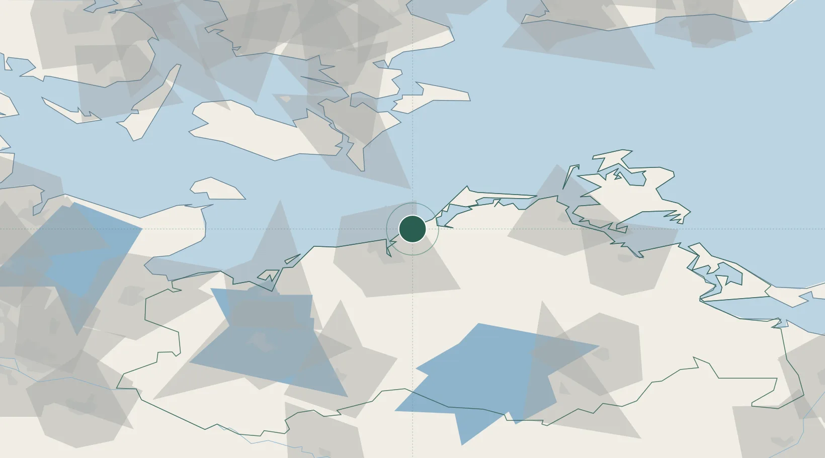
Nearby Logistics Neighbours

Cities
  1. 1Gelbensande7 km
  2. 2Rövershagen7 km
  3. 3Dierhagen10 km
  4. 4Warnemünde14 km
  5. 5Petersdorf14 km
Nearest neighbours — logibook spatial index (haversine) over the source coordinates
Ports
  1. 1Rostock18 km
  2. 2Nysted57 km
  3. 3Stralsund57 km
  4. 4Nykobing62 km
  5. 5Wismar63 km
Nearest neighbours — logibook spatial index (haversine) over the source coordinates
Airports
  1. 1Rostock-Laage Airport37 km
  2. 2Lolland Falster Maribo Airport72 km
  3. 3Neubrandenburg Trollenhagen Airport101 km
  4. 4Lübeck Blankensee Airport111 km
  5. 5Heringsdorf Airport132 km
Nearest neighbours — logibook spatial index (haversine) over the source coordinates
Trade Zones
  1. 1Freeport of Kiel134 km
  2. 2Swinoujscie Duty Free Zone139 km
  3. 3MTS Malmö Transport and Spedition161 km
  4. 4Freeport of Copenhagen- Nordhavn165 km
  5. 5Szczecin Duty Free Zone179 km
Nearest neighbours — logibook spatial index (haversine) over the source coordinates
DatabookThe Record of Consolidated Knowledge
Germany beyond logistics?
Browse databook

All Sources

LocationsUN/LOCODE
UN/LOCODE — free
Portsthe NGA World Port Index
Public domain (US gov)
AirportsOurAirports
Public domain
Trade Zonesthe World Bank SEZ database
CC BY 4.0
Trade ZonesOpen Zone Map
CC BY
← Germany locations