Transport Functions
Multimodal
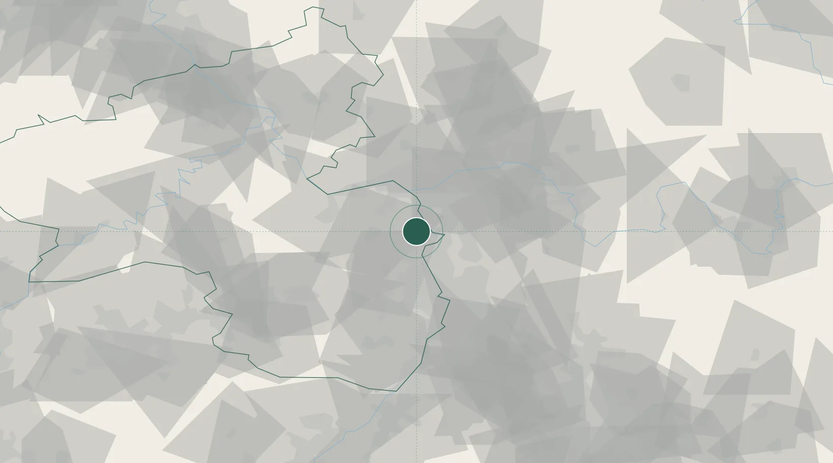
Hub Profile
Place type
Local administrative seat
Region
Rheinland-Pfalz
Population
3,702
Time zone
Europe/Berlin
Elevation
94 m
Location
Nearby Logistics Neighbours
Cities
- 1Alsheim2 km
- 2Ludwigshöhe4 km
- 3Mettenheim4 km
- 4Eich7 km
- 5Dittelsheim-Hessloch8 km
Airports
- 1Mainz-Finthen Airfield24 km
- 2Wiesbaden Army Airfield30 km
- 3Frankfurt-Egelsbach Airport30 km
- 4Frankfurt Main Airport32 km
- 5Mannheim-City Airport37 km
Trade Zones
- 1ZFU La Cité Behren-lès-Forbach123 km
- 2ZFU Hautepierre140 km
- 3ZFU Neuhof144 km
- 4Luxembourg Free Port153 km
- 5ZFU Woippy-Metz173 km
DatabookThe Record of Consolidated Knowledge
Germany beyond logistics?