Transport Functions
Port
Rail
Road
Hub Profile
Place type
Populated place
Region
Bavaria
Time zone
Europe/Berlin
Elevation
735 m
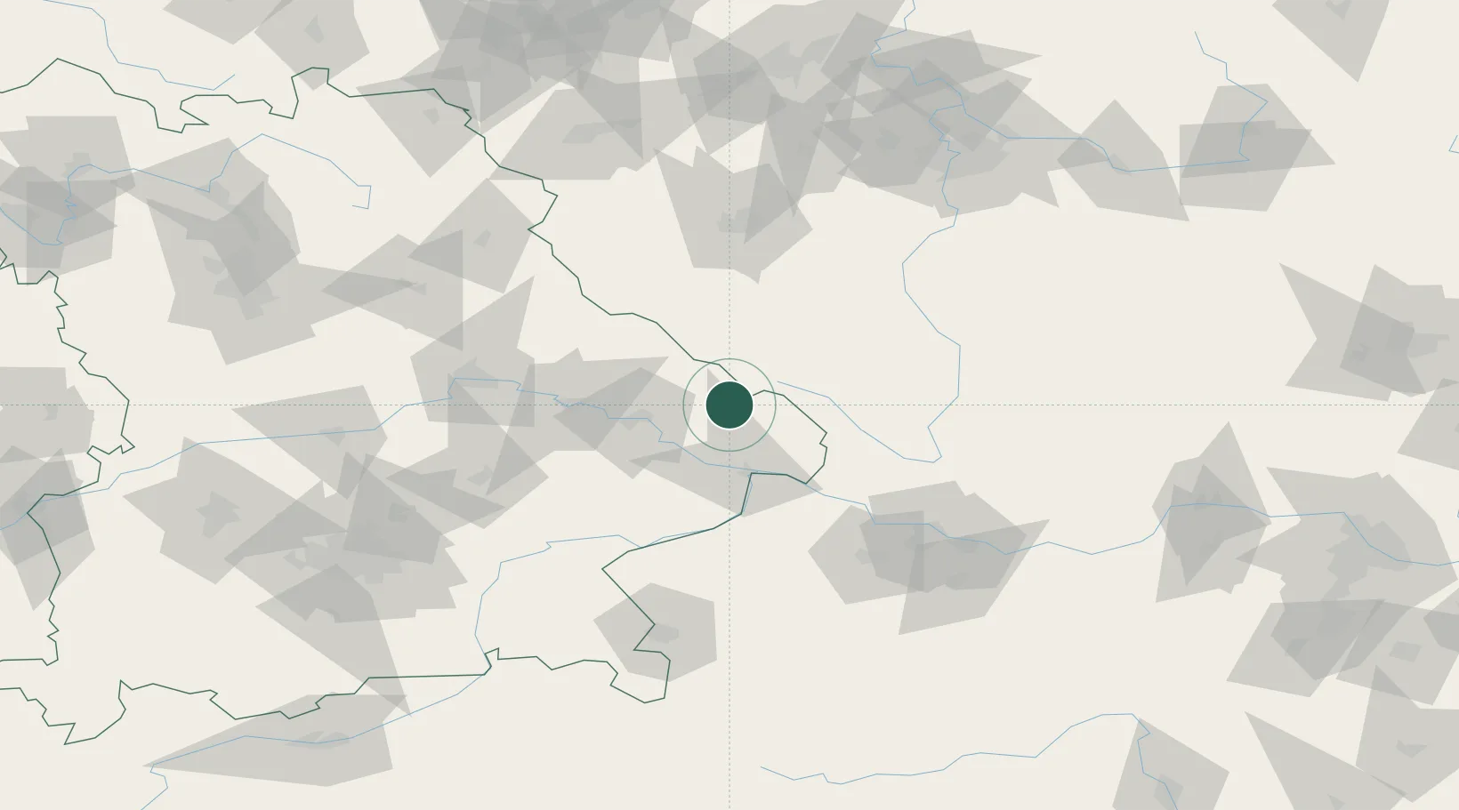
Location
Nearby Logistics Neighbours
Cities
- 1Grafenau7 km
- 2Frauenau10 km
- 3Freyung18 km
- 4Bischofsmais21 km
- 5Röhrnbach23 km
Ports
- 1Monfalcone347 km
- 2Nogaro350 km
- 3Grado356 km
- 4Trieste363 km
- 5Muggia368 km
Airports
- 1České Budějovice South Bohemian Airport79 km
- 2Plzeň-Líně Airport86 km
- 3Linz-Hörsching Airport96 km
- 4Landshut Airfield106 km
- 5Hohenfels Army Airfield116 km
Trade Zones
DatabookThe Record of Consolidated Knowledge
Germany beyond logistics?