Transport Functions
Multimodal
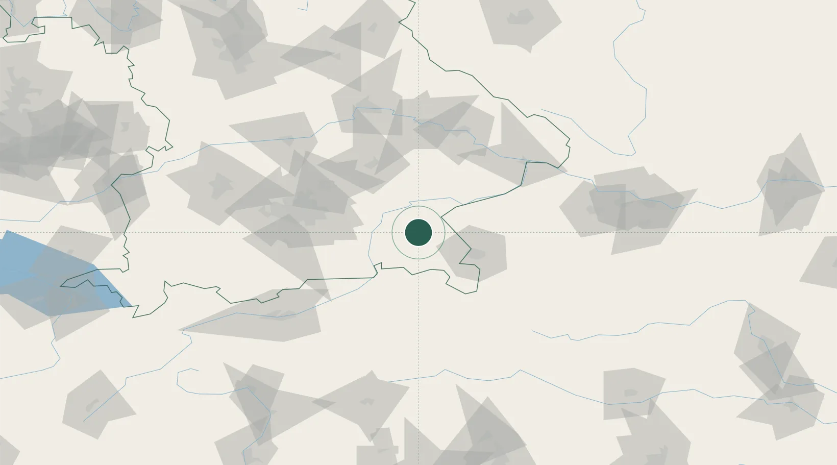
Hub Profile
Place type
Populated place
Region
Bavaria
Time zone
Europe/Berlin
Elevation
509 m
Location
Nearby Logistics Neighbours
Cities
- 1Sankt Georgen (Traunreut)2 km
- 2Truchtlaching5 km
- 3Traunreut5 km
- 4Seeon-Seebruck7 km
- 5Nussdorf10 km
Ports
- 1Nogaro252 km
- 2Monfalcone256 km
- 3Grado261 km
- 4Trieste275 km
- 5Muggia281 km
Airports
- 1Salzburg Airport40 km
- 2Munich Airport70 km
- 3Landshut Airfield70 km
- 4Oberpfaffenhofen Airport95 km
- 5Altstetten Ultralight Field100 km
Trade Zones
- 1Freeport of Deggendorf100 km
- 2Livigno Free Trade Zone245 km
- 3Podbořany Industrial Zone257 km
- 4Free Port of Trieste276 km
- 5Žatec - Triangle Strategic Industrial Zone277 km
DatabookThe Record of Consolidated Knowledge
Germany beyond logistics?