Transport Functions
Road
Multimodal
Hub Profile
Place type
Local administrative seat
Region
Bavaria
Population
1,209
Time zone
Europe/Berlin
Elevation
342 m
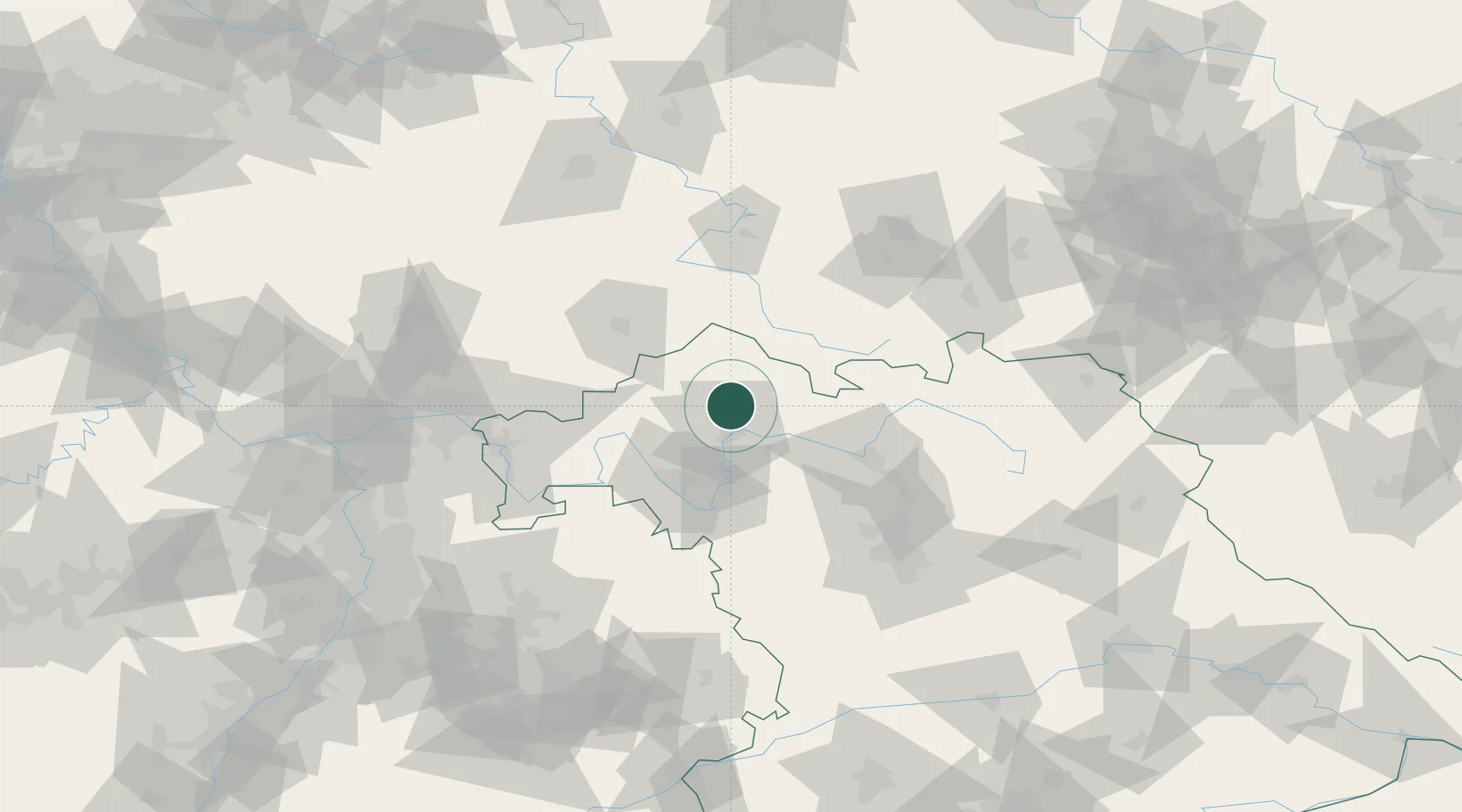
Location
Nearby Logistics Neighbours
Cities
- 1Oerlenbach6 km
- 2Kirschfurt11 km
- 3Oberwerrn12 km
- 4Geldersheim14 km
- 5Euerdorf14 km
Airports
- 1Bamberg-Breitenau Airfield57 km
- 2Niederstetten Army Air Base88 km
- 3Eisenach-Kindel Airport94 km
- 4Nuremberg Airport97 km
- 5Bayreuth Airport104 km
Trade Zones
- 1Podbořany Industrial Zone227 km
- 2Žatec - Triangle Strategic Industrial Zone236 km
- 3Freeport of Deggendorf243 km
- 4Most - Joseph Industrial Zone246 km
- 5ZFU Hautepierre253 km
DatabookThe Record of Consolidated Knowledge
Germany beyond logistics?