Transport Functions
Multimodal
Hub Profile
Region
TH
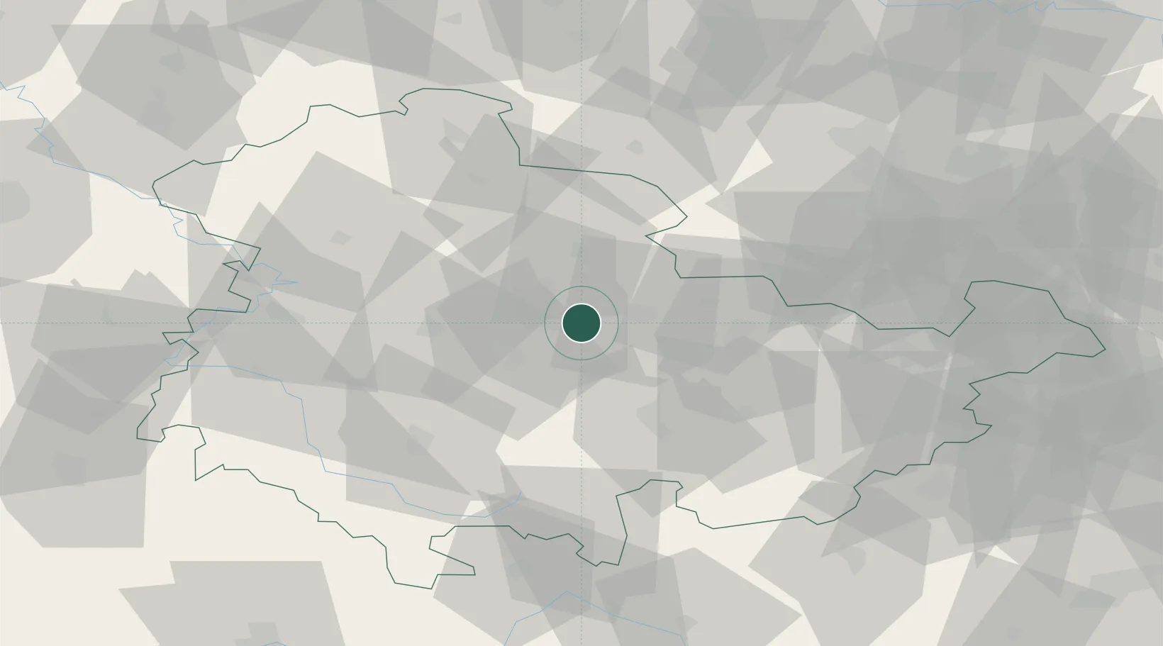
Location
Nearby Logistics Neighbours
Cities
- 1Erfurt3 km
- 2Isseroda5 km
- 3Bad Berka12 km
- 4Nesse-Apfelstadt17 km
- 5Blankenhain18 km
Airports
- 1Erfurt-Weimar Airport13 km
- 2Eisenach-Kindel Airport47 km
- 3Hof-Plauen Airport90 km
- 4Leipzig/Halle Airport91 km
- 5Leipzig–Altenburg Airport95 km
Trade Zones
DatabookThe Record of Consolidated Knowledge
Germany beyond logistics?