Transport Functions
Multimodal
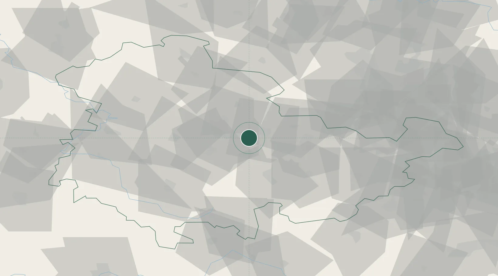
Hub Profile
Place type
Local administrative seat
Region
Thuringia
Population
508
Time zone
Europe/Berlin
Elevation
358 m
Location
Nearby Logistics Neighbours
Cities
- 1Mönchenholzhausen5 km
- 2Bad Berka7 km
- 3Erfurt8 km
- 4Blankenhain14 km
- 5Frankendorf16 km
Airports
- 1Erfurt-Weimar Airport18 km
- 2Eisenach-Kindel Airport52 km
- 3Hof-Plauen Airport86 km
- 4Leipzig/Halle Airport88 km
- 5Leipzig–Altenburg Airport90 km
Trade Zones
DatabookThe Record of Consolidated Knowledge
Germany beyond logistics?