Transport Functions
Rail
Road
Multimodal
Hub Profile
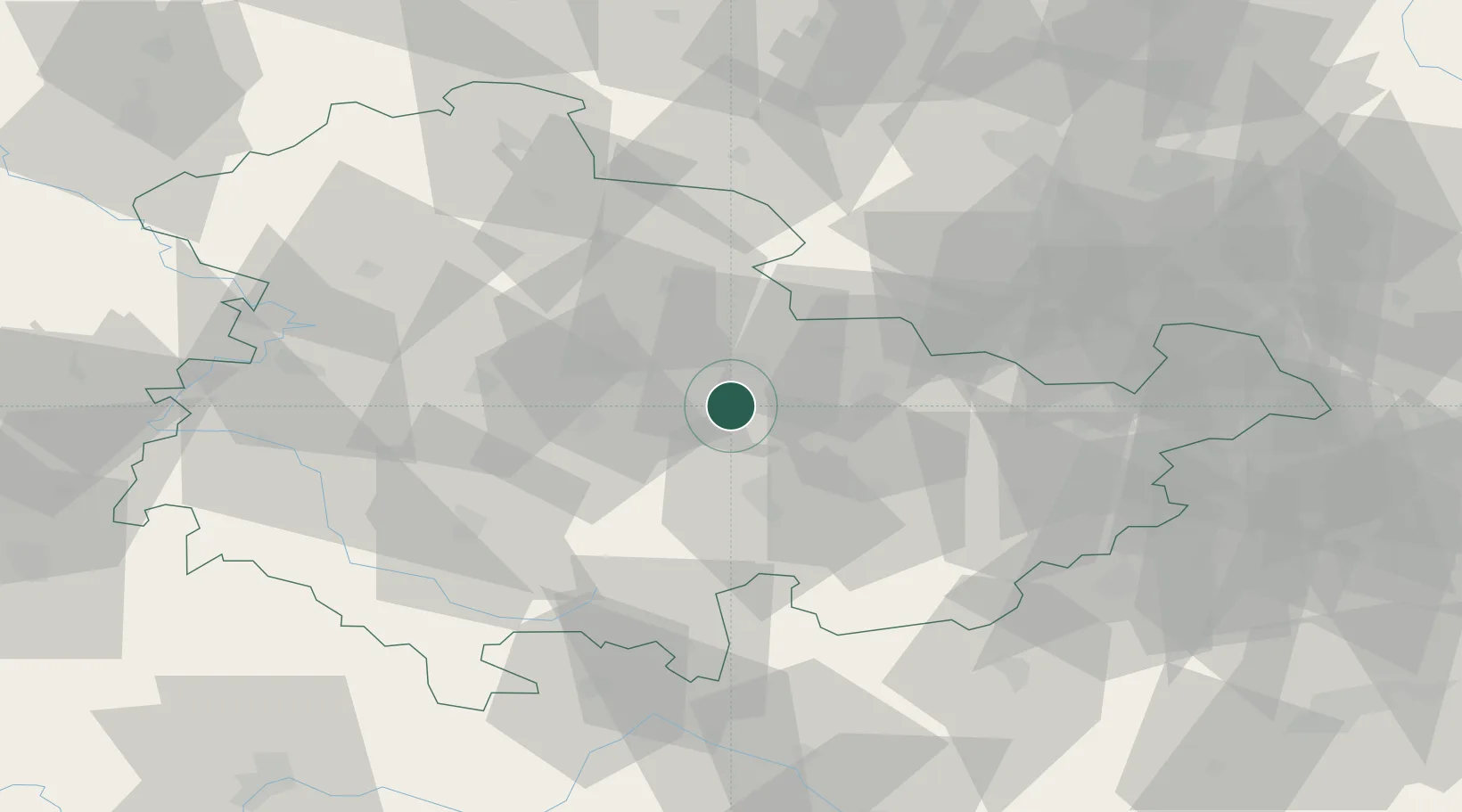
Place type
Populated place
Region
Thuringia
Population
7,744
Time zone
Europe/Berlin
Elevation
273 m
Location
Nearby Logistics Neighbours
Cities
- 1Blankenhain7 km
- 2Isseroda7 km
- 3Mönchenholzhausen12 km
- 4Frankendorf14 km
- 5Erfurt15 km
Airports
- 1Erfurt-Weimar Airport24 km
- 2Eisenach-Kindel Airport57 km
- 3Hof-Plauen Airport79 km
- 4Leipzig–Altenburg Airport86 km
- 5Leipzig/Halle Airport88 km
Trade Zones
DatabookThe Record of Consolidated Knowledge
Germany beyond logistics?