Transport Functions
Rail
Road
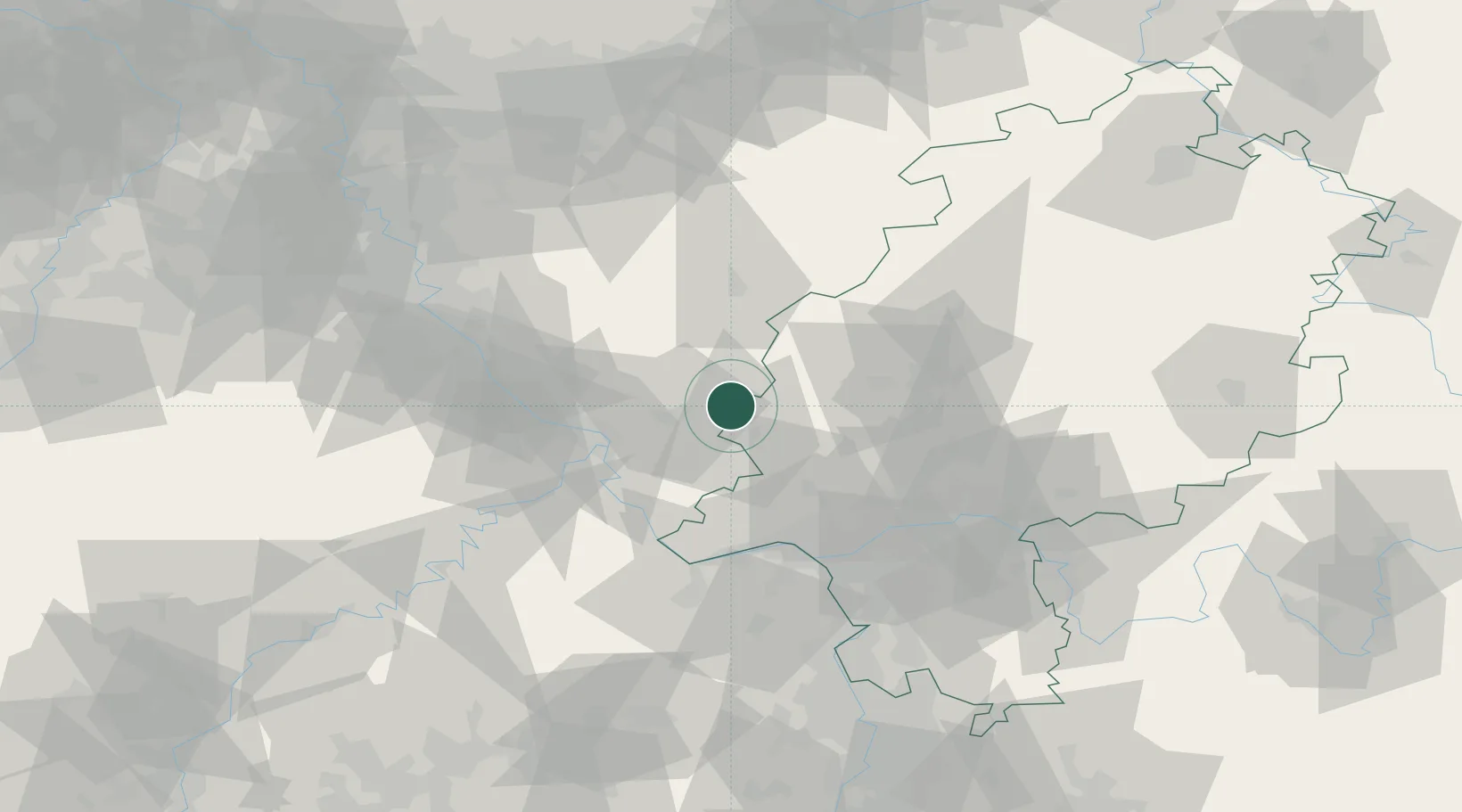
Hub Profile
Place type
Populated place
Region
Thuringia
Population
919
Time zone
Europe/Berlin
Elevation
233 m
Location
Nearby Logistics Neighbours
Cities
- 1Weroth B Montabaur6 km
- 2Berod bei Wallmerod6 km
- 3Dreikirchen9 km
- 4Girod9 km
- 5Görgeshausen10 km
Airports
- 1Siegerland Airport24 km
- 2Wiesbaden Army Airfield55 km
- 3Mainz-Finthen Airfield60 km
- 4Frankfurt Main Airport65 km
- 5Cologne Bonn Airport74 km
Trade Zones
- 1Rheinische Revier SWZ124 km
- 2Freeport of Duisburg145 km
- 3Luxembourg Free Port160 km
- 4ZFU La Cité Behren-lès-Forbach168 km
- 5ZFU Woippy-Metz201 km
DatabookThe Record of Consolidated Knowledge
Germany beyond logistics?