UN/LOCODE hub · Germany
DENNJ

Nienbüttel

54.0333°, 9.4167°
144
Population
2
Transport functions

Transport Functions

Rail
Road
UN/LOCODE

Hub Profile

Place type
Local administrative seat
GeoNames
Region
Schleswig-Holstein
GeoNames
Population
144
GeoNames
Time zone
Europe/Berlin
GeoNames
Elevation
43 m
GeoNames

Location

Location of DENNJ
Natural Earth 10m (public domain) · Schleswig-Holstein · DENNJ · 54.03, 9.42GoogleOSMYandex

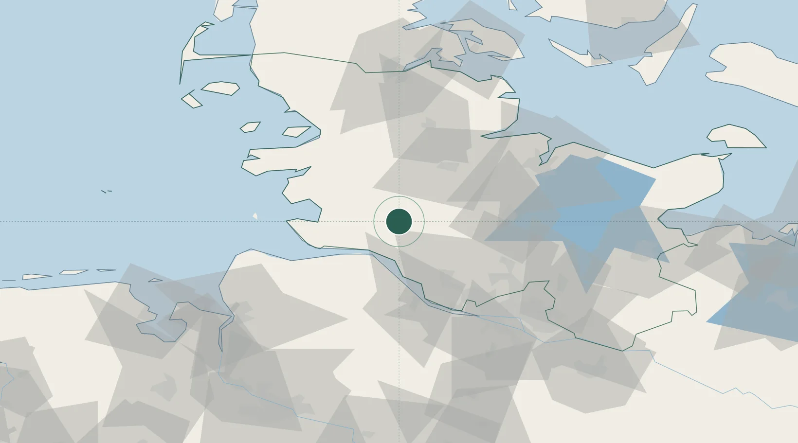
Nearby Logistics Neighbours

Cities
  1. 1Eggstedt10 km
  2. 2Ecklak14 km
  3. 3Sankt Margarethen18 km
  4. 4Sankt Michaelisdonn20 km
  5. 5Ostermoor21 km
Nearest neighbours — logibook spatial index (haversine) over the source coordinates
Ports
  1. 1Itzehoe15 km
  2. 2Brunsbuttel Elbahafen23 km
  3. 3Gluckstadt28 km
  4. 4Rendsburg34 km
  5. 5Neuhaus36 km
Nearest neighbours — logibook spatial index (haversine) over the source coordinates
Airports
  1. 1Hohn Air Base32 km
  2. 2Heide-Büsum Airport36 km
  3. 3Uetersen-Heist Airfield47 km
  4. 4Schleswig Air Base48 km
  5. 5Sea-Airport Cuxhaven/Nordholz / Nordholz Naval Airbase58 km
Nearest neighbours — logibook spatial index (haversine) over the source coordinates
Trade Zones
  1. 1Freeport of Kiel60 km
  2. 2Freeport of Cuxhaven (Freihafen Cuxhaven)60 km
  3. 3Freeport of Bremerhaven (Freihafen Bremerhaven)113 km
  4. 4Freeport of Emden166 km
  5. 5Freeport of Copenhagen- Nordhavn277 km
Nearest neighbours — logibook spatial index (haversine) over the source coordinates
DatabookThe Record of Consolidated Knowledge
Germany beyond logistics?
Browse databook

All Sources

LocationsUN/LOCODE
UN/LOCODE — free
LocationsGeoNames
CC BY 4.0
Portsthe NGA World Port Index
Public domain (US gov)
AirportsOurAirports
Public domain
Trade Zonesthe World Bank SEZ database
CC BY 4.0
Trade ZonesOpen Zone Map
CC BY
← Germany locations