Transport Functions
Multimodal
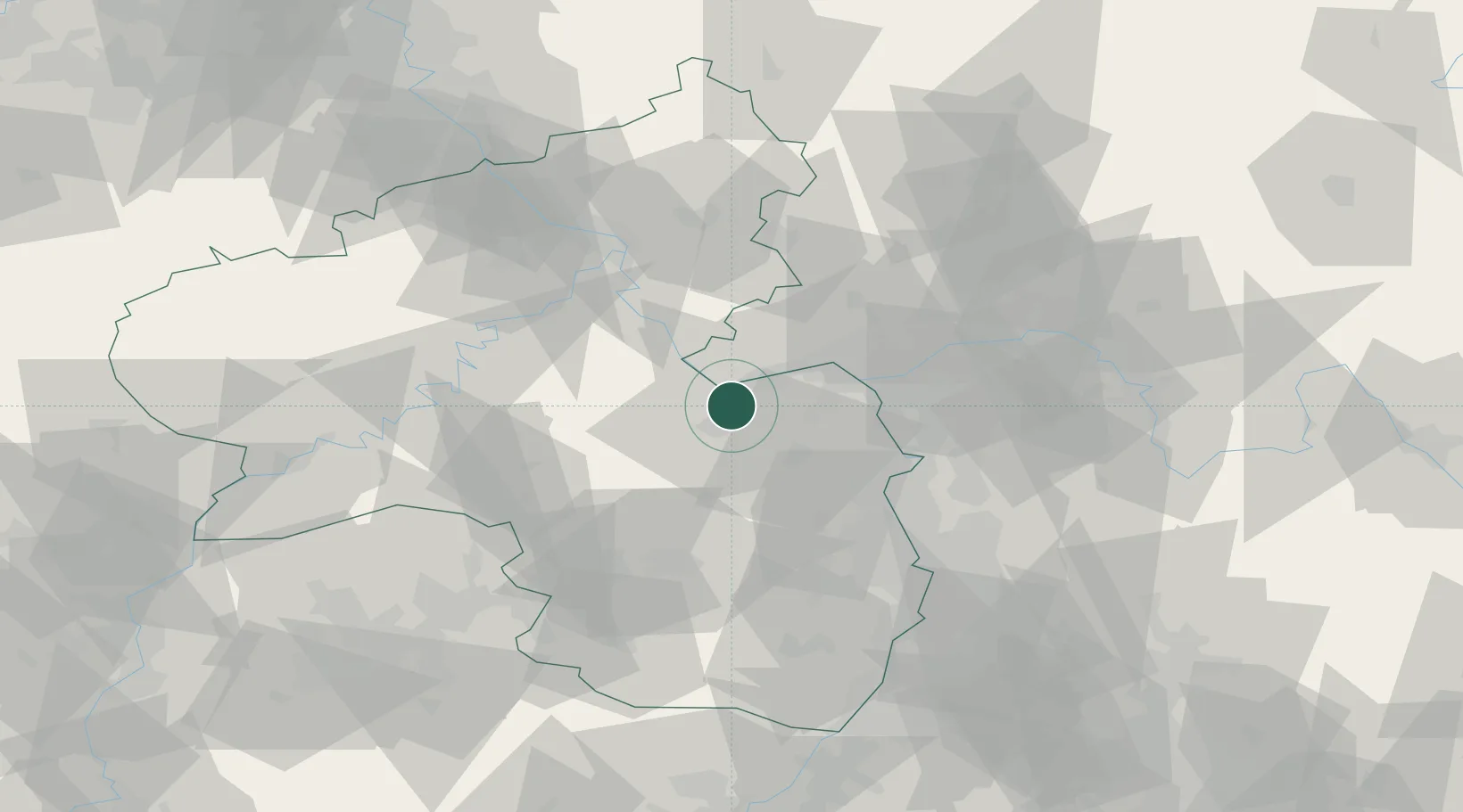
Hub Profile
Place type
Local administrative seat
Region
Rheinland-Pfalz
Population
1,080
Time zone
Europe/Berlin
Elevation
92 m
Location
Nearby Logistics Neighbours
Cities
- 1Laubenheim1 km
- 2Ockenheim4 km
- 3Rümmelsheim4 km
- 4Münster-Sarmsheim4 km
- 5Kempten6 km
Airports
- 1Mainz-Finthen Airfield17 km
- 2Wiesbaden Army Airfield33 km
- 3Frankfurt-Hahn Airport47 km
- 4Frankfurt Main Airport48 km
- 5Frankfurt-Egelsbach Airport52 km
Trade Zones
- 1ZFU La Cité Behren-lès-Forbach110 km
- 2Luxembourg Free Port126 km
- 3ZFU Hautepierre148 km
- 4ZFU Woippy-Metz153 km
- 5ZFU Neuhof153 km
DatabookThe Record of Consolidated Knowledge
Germany beyond logistics?