Transport Functions
Rail
Road
Hub Profile
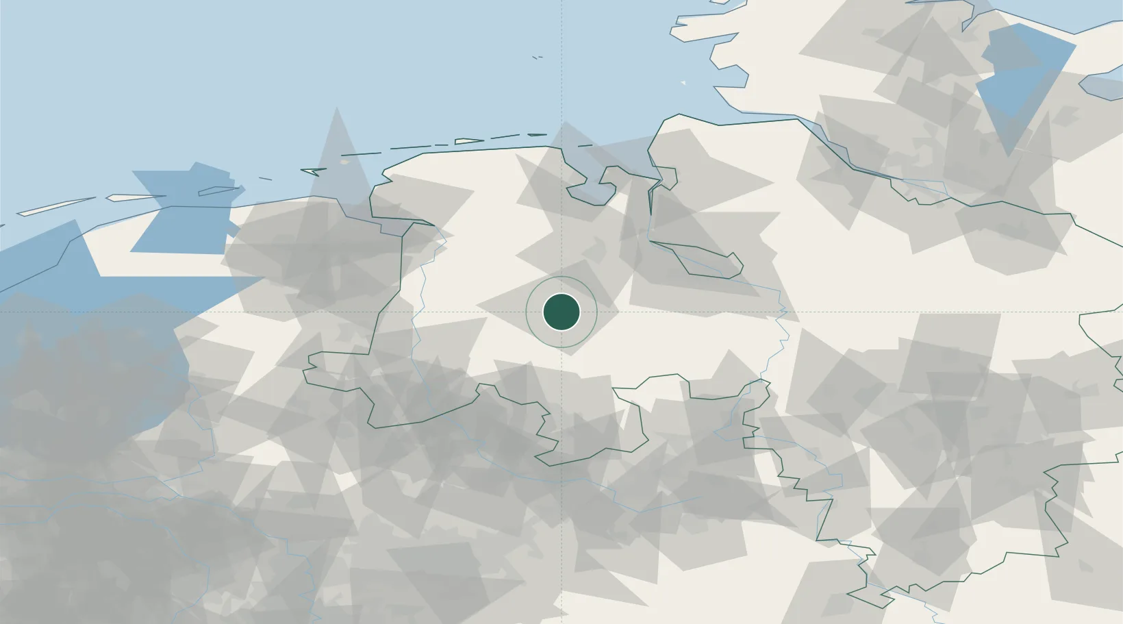
Place type
District seat
Region
Lower Saxony
Population
31,177
Time zone
Europe/Berlin
Elevation
42 m
Location
Nearby Logistics Neighbours
Cities
- 1Emstek8 km
- 2Garrel11 km
- 3Addrup13 km
- 4Langförden17 km
- 5Bösel18 km
Airports
- 1Diepholz Air Base36 km
- 2Bremen Airport55 km
- 3Emden Airport81 km
- 4Wittmundhafen Air Base81 km
- 5Münster Osnabrück Airport83 km
Trade Zones
DatabookThe Record of Consolidated Knowledge
Germany beyond logistics?