Transport Functions
Multimodal
Hub Profile
Place type
Local administrative seat
Region
Lower Saxony
Population
7,511
Time zone
Europe/Berlin
Elevation
15 m
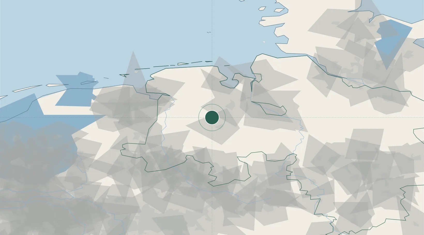
Location
Nearby Logistics Neighbours
Cities
- 1Friesoythe7 km
- 2Garrel7 km
- 3Edewechterdamm9 km
- 4Neuscharrel11 km
- 5Sedelsberg15 km
Airports
- 1Diepholz Air Base53 km
- 2Bremen Airport56 km
- 3Wittmundhafen Air Base64 km
- 4Emden Airport65 km
- 5Harlesiel Airfield79 km
Trade Zones
DatabookThe Record of Consolidated Knowledge
Germany beyond logistics?