Transport Functions
Multimodal
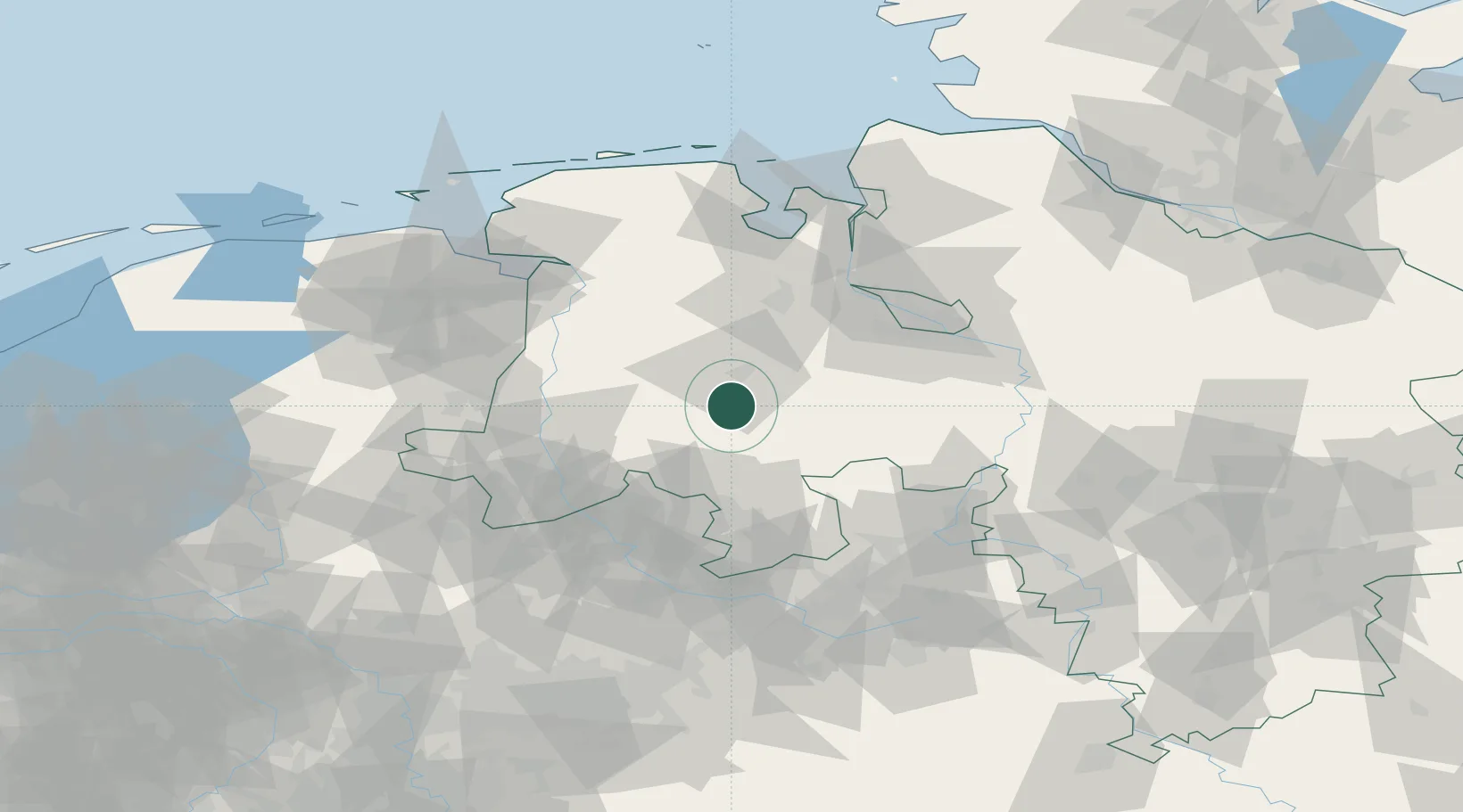
Hub Profile
Place type
Populated place
Region
Lower Saxony
Time zone
Europe/Berlin
Elevation
32 m
Location
Nearby Logistics Neighbours
Cities
- 1Quakenbrück7 km
- 2Badbergen11 km
- 3Cloppenburg13 km
- 4Emstek14 km
- 5Lohne bei Vechta16 km
Airports
- 1Diepholz Air Base27 km
- 2Bremen Airport63 km
- 3Münster Osnabrück Airport70 km
- 4Bückeburg Air Base88 km
- 5Emden Airport90 km
Trade Zones
DatabookThe Record of Consolidated Knowledge
Germany beyond logistics?