Transport Functions
Rail
Road
Hub Profile
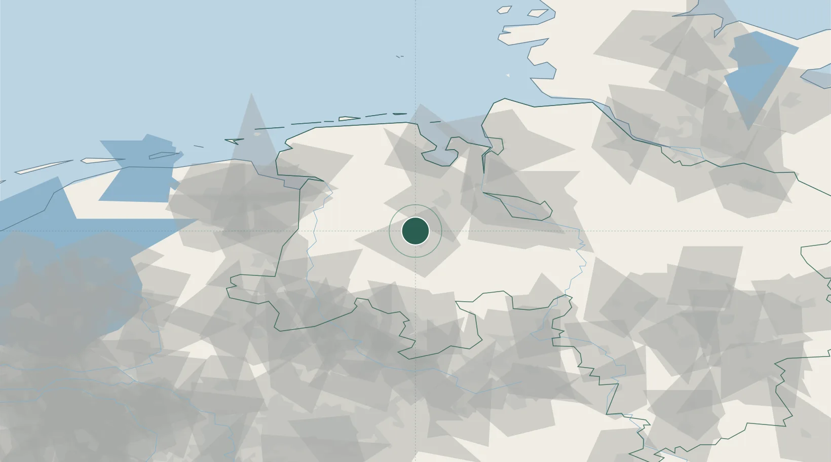
Place type
Local administrative seat
Region
Lower Saxony
Population
12,273
Time zone
Europe/Berlin
Elevation
20 m
Location
Nearby Logistics Neighbours
Cities
- 1Bösel7 km
- 2Cloppenburg11 km
- 3Friesoythe13 km
- 4Emstek16 km
- 5Edewechterdamm16 km
Airports
- 1Diepholz Air Base46 km
- 2Bremen Airport53 km
- 3Wittmundhafen Air Base70 km
- 4Emden Airport72 km
- 5Harlesiel Airfield85 km
Trade Zones
DatabookThe Record of Consolidated Knowledge
Germany beyond logistics?