Transport Functions
Port
Rail
Road
Hub Profile
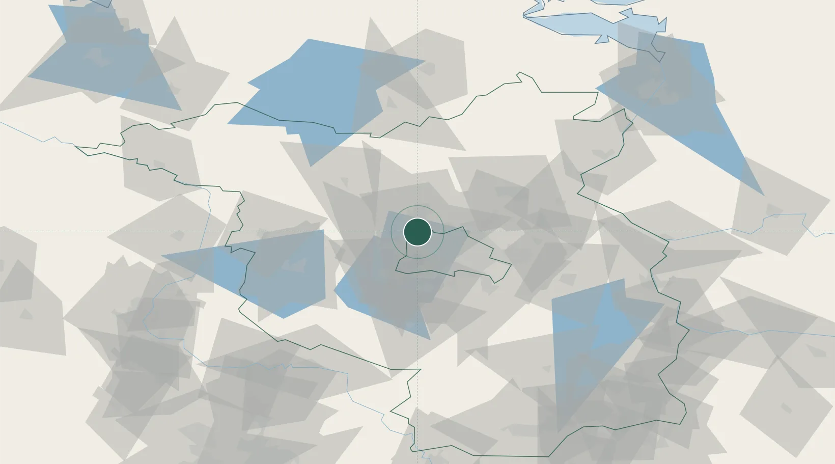
Place type
Populated place
Region
Brandenburg
Population
26,122
Time zone
Europe/Berlin
Elevation
33 m
Location
Nearby Logistics Neighbours
Cities
- 1Schönwalde (Havelland)6 km
- 2Glienicke7 km
- 3Spandau/Berlin9 km
- 4Oberkrämer10 km
- 5Mühlenbeck11 km
Ports
- 1Szczecin125 km
- 2Police138 km
- 3Swinoujscie159 km
- 4Wolgast162 km
- 5Rostock178 km
Airports
- 1Berlin Brandenburg Airport36 km
- 2Holzdorf Air Base96 km
- 3Zerbst Airfield101 km
- 4Neubrandenburg Trollenhagen Airport108 km
- 5Leipzig/Halle Airport151 km
Trade Zones
- 1Kostrzyń-Słubice SEZ96 km
- 2Szczecin Duty Free Zone126 km
- 3Swinoujscie Duty Free Zone157 km
- 4Legnica SEZ (Legnicka SSE)239 km
- 5Most - Joseph Industrial Zone241 km
DatabookThe Record of Consolidated Knowledge
Germany beyond logistics?