Transport Functions
Rail
Road
Multimodal
Hub Profile
Region
BE
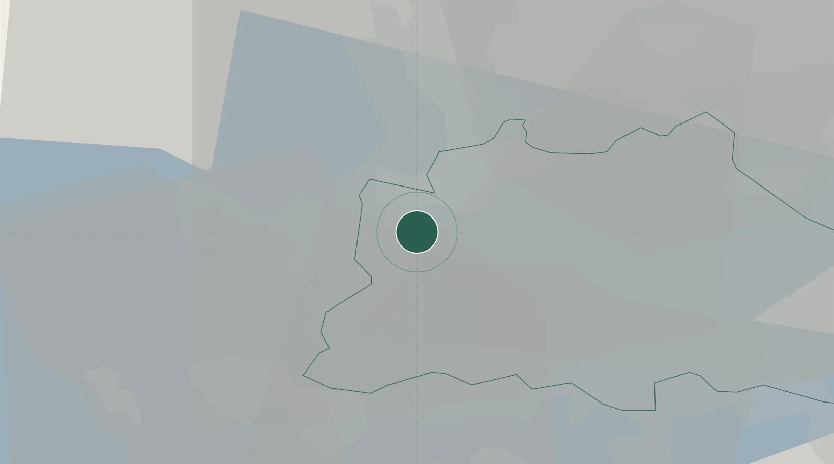
Location
Nearby Logistics Neighbours
Cities
- 1Dallgow8 km
- 2Schönwalde (Havelland)9 km
- 3Hennigsdorf9 km
- 4Döberitz11 km
- 5Glienicke12 km
Ports
- 1Szczecin132 km
- 2Police145 km
- 3Swinoujscie168 km
- 4Wolgast171 km
- 5Rostock186 km
Airports
- 1Berlin Brandenburg Airport29 km
- 2Holzdorf Air Base87 km
- 3Zerbst Airfield94 km
- 4Neubrandenburg Trollenhagen Airport117 km
- 5Leipzig/Halle Airport142 km
Trade Zones
- 1Kostrzyń-Słubice SEZ97 km
- 2Szczecin Duty Free Zone134 km
- 3Swinoujscie Duty Free Zone166 km
- 4Most - Joseph Industrial Zone232 km
- 5Legnica SEZ (Legnicka SSE)235 km
DatabookThe Record of Consolidated Knowledge
Germany beyond logistics?