Transport Functions
Port
Hub Profile
Region
MV
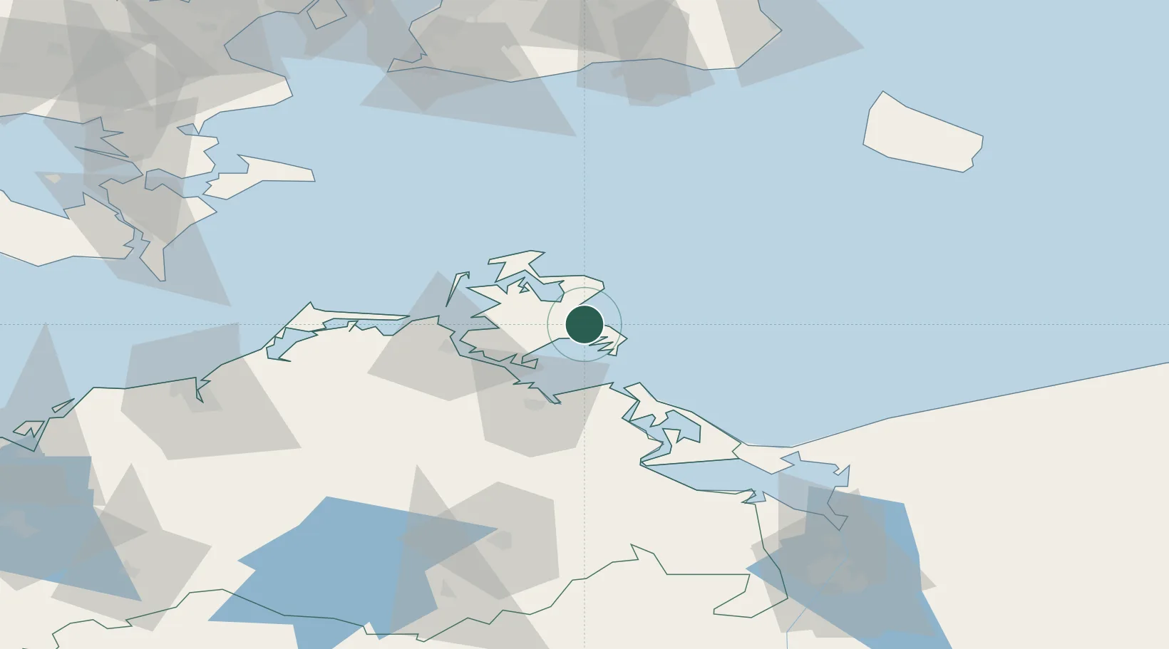
Location
Nearby Logistics Neighbours
Cities
- 1Ostseebad Goehren11 km
- 2Gager12 km
- 3Marlow15 km
- 4Vierow16 km
- 5Benz25 km
Ports
- 1Sassnitz13 km
- 2Stralsund34 km
- 3Wolgast41 km
- 4Swinoujscie69 km
- 5Rostock101 km
Airports
- 1Heringsdorf Airport68 km
- 2Neubrandenburg Trollenhagen Airport91 km
- 3Rostock-Laage Airport101 km
- 4Bornholm Airport105 km
- 5Solidarity Szczecin–Goleniów Airport124 km
Trade Zones
- 1Swinoujscie Duty Free Zone71 km
- 2Szczecin Duty Free Zone126 km
- 3MTS Malmö Transport and Spedition138 km
- 4Freeport of Copenhagen- Nordhavn159 km
- 5Kostrzyń-Słubice SEZ212 km
DatabookThe Record of Consolidated Knowledge
Germany beyond logistics?