UN/LOCODE hub · Germany
DEENZ

Benz

54.3000°, 13.2500°
2
Transport functions

Transport Functions

Road
Multimodal
UN/LOCODE

Hub Profile

Place type
Farm village
GeoNames
Region
Mecklenburg-Vorpommern
GeoNames
Time zone
Europe/Berlin
GeoNames
Elevation
1 m
GeoNames

Location

Location of DEENZ
Natural Earth 10m (public domain) · Mecklenburg-Vorpommern · DEENZ · 54.30, 13.25GoogleOSMYandex

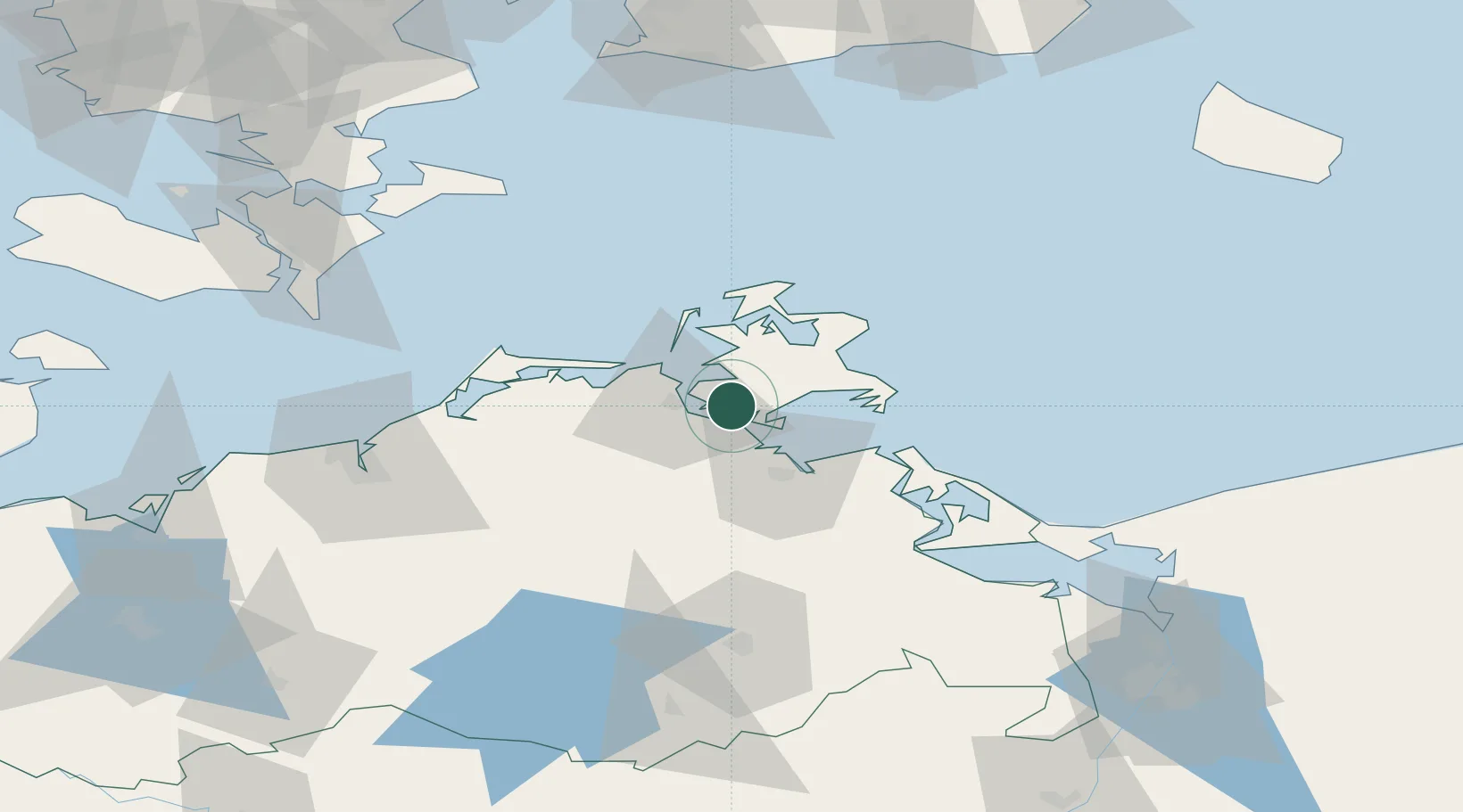
Nearby Logistics Neighbours

Cities
  1. 1Stahlbrode8 km
  2. 2Suhrendorf20 km
  3. 3Grimmen24 km
  4. 4Schaprode25 km
  5. 5Binz25 km
Nearest neighbours — logibook spatial index (haversine) over the source coordinates
Ports
  1. 1Stralsund10 km
  2. 2Sassnitz35 km
  3. 3Wolgast45 km
  4. 4Rostock76 km
  5. 5Swinoujscie79 km
Nearest neighbours — logibook spatial index (haversine) over the source coordinates
Airports
  1. 1Heringsdorf Airport75 km
  2. 2Rostock-Laage Airport76 km
  3. 3Neubrandenburg Trollenhagen Airport78 km
  4. 4Lolland Falster Maribo Airport125 km
  5. 5Bornholm Airport129 km
Nearest neighbours — logibook spatial index (haversine) over the source coordinates
Trade Zones
  1. 1Swinoujscie Duty Free Zone80 km
  2. 2Szczecin Duty Free Zone131 km
  3. 3MTS Malmö Transport and Spedition146 km
  4. 4Freeport of Copenhagen- Nordhavn163 km
  5. 5Freeport of Kiel200 km
Nearest neighbours — logibook spatial index (haversine) over the source coordinates
DatabookThe Record of Consolidated Knowledge
Germany beyond logistics?
Browse databook

All Sources

LocationsUN/LOCODE
UN/LOCODE — free
Portsthe NGA World Port Index
Public domain (US gov)
AirportsOurAirports
Public domain
Trade Zonesthe World Bank SEZ database
CC BY 4.0
Trade ZonesOpen Zone Map
CC BY
← Germany locations